
South West England and South Wales 1832
Back to: Devon | Someset | Dorset | Wiltshire
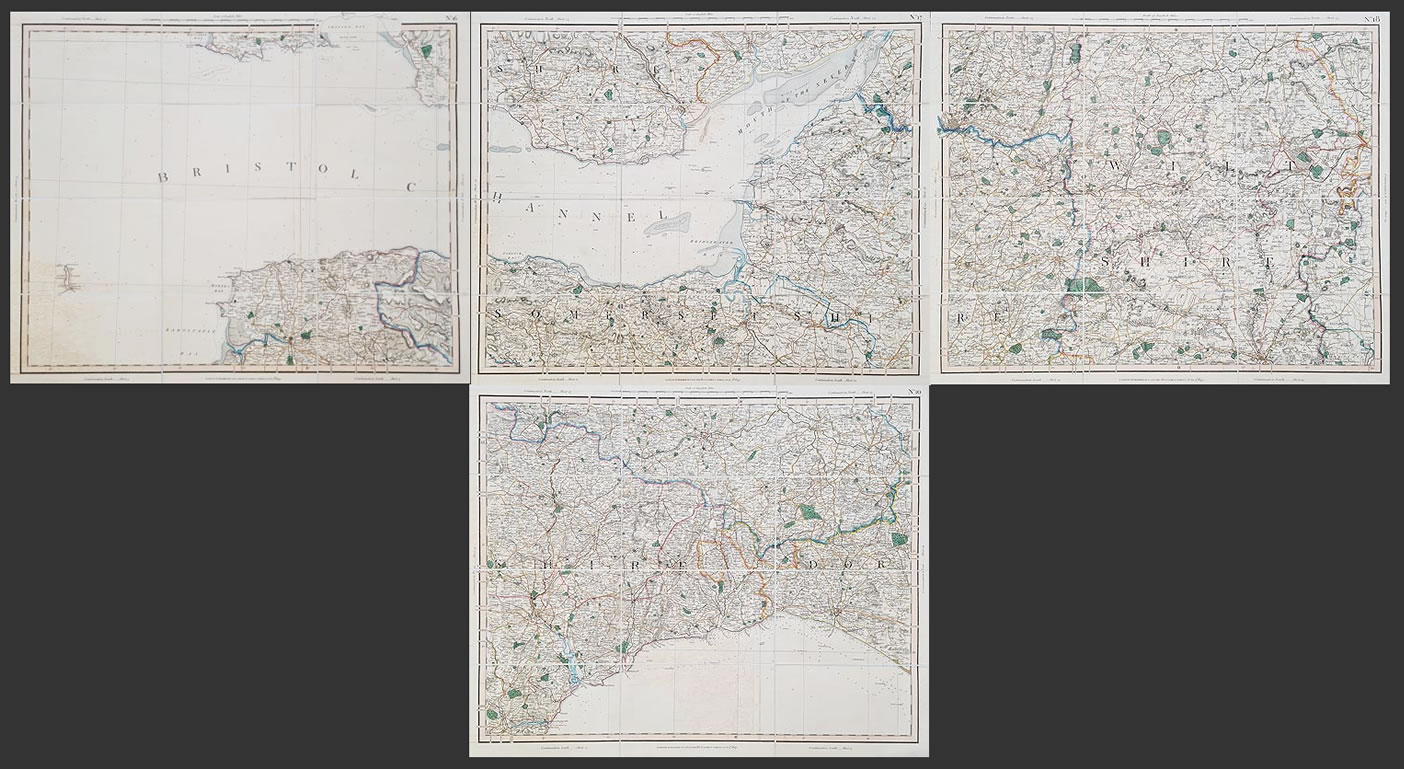
Title: Set of Four maps of Devon, Dorset, Wiltshire and Somerset with South Wales sheets 10, 16, 17 and 18.
Publication: Cary's Improved Map of England and Wales
Date: July 2nd to 4th 1832
Description: Detailed maps of the South West peninsula also featuring part of the South Wales Coast
Condition: Dissected and laid on linen, original hand colouring, marbled hard back covers with thumbnail key, some offsetting.
Image size: 560 x 675mm, 22 x 27" each approx.
£295.00
Order No. 4195 to 4199
Click here for framing suggestions
Georgian maps of South West England and South Wales
Opening Hours:
Mon - Closed
Tues-Fri 10am-1.30pm, 2.30-5.30pm
Sat 10am-1.30pm
© Devonshire Fine Art
Mon - Closed
Tues-Fri 10am-1.30pm, 2.30-5.30pm
Sat 10am-1.30pm
© Devonshire Fine Art
 Free UK Mainland Delivery*
Devonshire Fine Art
9 Church Street
Modbury
Devon PL21 0QW. UK
01548 830872
9 Church Street
Modbury
Devon PL21 0QW. UK
01548 830872


