
Polar Antique Maps - 19th Century
Antique Maps of the Antarctic and Arctic - Historical Charts and Maps of the Polar Regions, also Hadrians Wall
Click on an image or link for more details or to purchase. FREE UK Delivery 
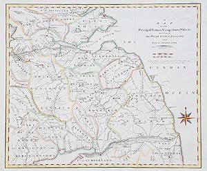
Hadrian's Wall
John Cary
1805
£195.00
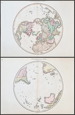
South and North Poles
Pinkerton and Neele
1812
£795.00 pair
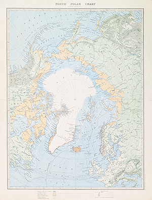
North Polar Chart - Artic
A. Keith Johnston
1886
SOLD
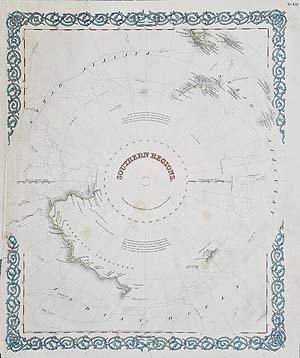
Antarctica - South Pole
Joseph Hutchins Colton
c.1855
SOLD
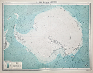
South Polar Regions
John Bartholomew
1920
SOLD
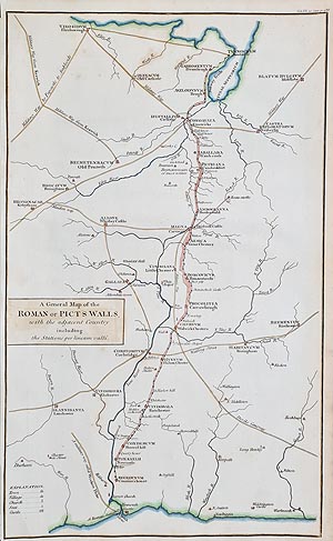
Hadrian's Wall
possibly John Cary
c.1805
SOLD
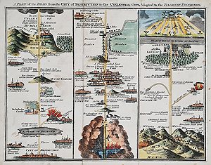
Pilgrims Progress after John Bunyan
Illustrated hard back book
1825
SOLD
Antique Miscellaneous Maps - Polar, Biblical, Historical.
Opening Hours:
Mon - Closed
Tues-Fri 10am-1.30pm, 2.30-5.30pm
Sat 10am-1.30pm
© Devonshire Fine Art
Mon - Closed
Tues-Fri 10am-1.30pm, 2.30-5.30pm
Sat 10am-1.30pm
© Devonshire Fine Art
Free UK Mainland Delivery*
Devonshire Fine Art
9 Church Street
Modbury
Devon PL21 0QW. UK
01548 830872
9 Church Street
Modbury
Devon PL21 0QW. UK
01548 830872


