
Antarctica and the South Pole by Joseph Colton
Back to: Miscellaneous
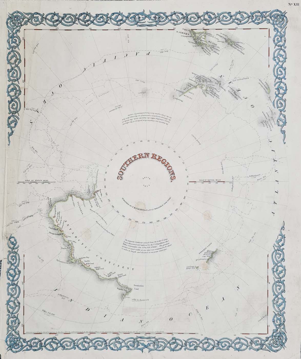
Title: Southern Regions
Publication: Colton’s Atlas of the World, page No. 13.
Date: circa 1855
Description: 19th century map depicting what was known of Antarctica, also features the Falkland Isles, South Georgia and Tierra del Fuego with Cape Horn. Denotes the various voyages of discovery which gradually revealed the southen continent including Cook 1773 and 1774, Biscoe 1831, Bellingham 1820, Wilkes 1840, Ross 1843.
Condition: Several repaired splits into borders, contemporary candle wax spots!, margin reduced bottom left, later hand colouring.
Image size: 390 x 325mm, 15.25 x 12.75" approx.
SOLD
Order No. 4052
Click here for framing suggestions
Antarctica and South Pole by Joseph Colton circa 1855
Opening Hours:
Mon - Closed
Tues-Fri 10am-1.30pm, 2.30-5.30pm
Sat 10am-1.30pm
© Devonshire Fine Art
Mon - Closed
Tues-Fri 10am-1.30pm, 2.30-5.30pm
Sat 10am-1.30pm
© Devonshire Fine Art
 Free UK Mainland Delivery*
Devonshire Fine Art
9 Church Street
Modbury
Devon PL21 0QW. UK
01548 830872
9 Church Street
Modbury
Devon PL21 0QW. UK
01548 830872


