
Antique Maps of Berkshire
Explore our collection of original antique maps of Berkshire, featuring historic county maps from the 18th and 19th centuries. The collection includes maps by well-known cartographers such as John Cary, Thomas Moule, Robert Morden and Archibald Fullarton, subject to current availability.
These historic maps offer fascinating views of Berkshire and its towns, villages, roads and countryside as they appeared in earlier centuries. Original antique maps make interesting additions to collections and can also be framed for display in homes or offices.
Antique Berkshire Maps for Sale

Berkshire
Reuben Ramble
c. 1845
£75.00

Berkshire
Thomas Moule
c.1836-48
£79.00

Berkshire
Needlepoint Embroidery by I.P. based on some elements in Robert Blome's county map.
1938
£75.00
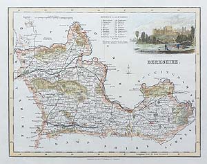
Berkshire
Archibald Fullarton
c. 1833
£48.00
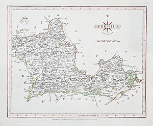
Berkshire
John Cary
1793
£35.00
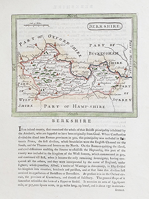
Berkshire
c.1787
£42.00
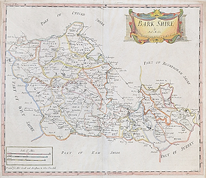
Berkshire
Robert Morden
c.1722
£145.00
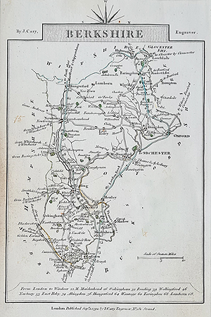
Berkshire (Bedfordshire verso)
John Cary
Sept. 1st 1792
£29.95
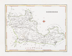
Berkshire
Robert Creighton and J & C Walker
c.1831
£34.95
Historic Maps of Berkshire
Antique maps of Berkshire show how the county's towns, villages, roads and countryside were represented by cartographers in earlier centuries. Maps from the 18th and 19th centuries can reveal changes in place names, transport routes and the depiction of the landscape.
Our collection includes maps by cartographers such as John Cary, Thomas Moule, Robert Morden and Archibald Fullarton, subject to availability. Each original map has its own historical character, with differences in engraving, colouring, publication date, size and condition.
When choosing an antique Berkshire map, check the individual product description for its date, mapmaker, dimensions, colouring and condition. These details can help you select a map for collecting, research or display.
Explore more of our antique maps of the British Isles, or browse the neighbouring county collections where available.
For display options, visit our antique map framing service.
Mon - Closed
Tues-Fri 10am-1.30pm, 2.30-5.30pm
Sat 10am-1.30pm
© Devonshire Fine Art
 Free UK Mainland Delivery*
9 Church Street
Modbury
Devon PL21 0QW. UK
01548 830872


