
Antique Map of Berkshire by John Seller and Francis Grose
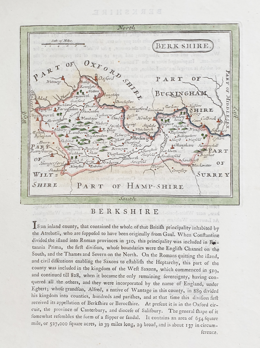
Antique Berkshire Map by John Seller and Francis Grose
This antique map of Berkshire was originally published by John Seller and later republished by Francis Grose in The Antiquities of England and Wales. It is an example of historic English county mapping associated with this antiquarian publication.
The map features later hand colouring and is described as having good paper and a good imprint. Measuring approximately 210 × 180 mm, it is suitable for collectors of antique county maps, Berkshire history and antiquarian publications.
Map Details
- County: Berkshire, England
- Original mapmaker: John Seller
- Later publisher: Francis Grose
- Publication: The Antiquities of England and Wales
- Date: 1773–1815, as currently catalogued
- Condition: Good imprint and paper, with later hand colouring
- Image dimensions: Approximately 210 × 180 mm
- Order number: 3804a
Price: £42.00
Order No. 3804a
Explore Historic Maps of Berkshire
This antique Berkshire map is part of our collection of historic county maps of England. Compare it with other examples in our collection of antique maps of Berkshire to explore different mapmakers, editions and periods.
If you would like to display the map, see our antique map framing options.
Frequently Asked Questions
Who published this antique map of Berkshire?
The map was originally published by John Seller and was later republished by Francis Grose in The Antiquities of England and Wales.
What is the condition of the map?
The paper and imprint are described as good, with later hand colouring.
How large is the map?
The image measures approximately 210 × 180 mm. Please check the product details for the image dimensions before ordering.
Can I order the map framed?
Framing options are available through our antique map framing service. The framing and glass options selected affect the final price.
Mon - Closed
Tues-Fri 10am-1.30pm, 2.30-5.30pm
Sat 10am-1.30pm
© Devonshire Fine Art
 Free UK Mainland Delivery*
9 Church Street
Modbury
Devon PL21 0QW. UK
01548 830872


