
Antique and Vintage Admiralty Charts
Browse our large collection of Admiralty Nautical Sea Charts.
See also other antique sea charts
Admiralty charts are nautical or sea charts issued by the United Kingdom Hydrographic Office. Admiralty charts have been produced by Hydrographic Office since the acquired a print press in 1800. The hydrographic department of the British Admiralty was established under Earl Spencer in 1795, initially, only consisting of the Hydrographer, Alexander Dalrymple, one assistant and one draughtsman. The initial remit was to organise the charts and information in the office, and to make it available to His Majesty's ships.
At first, charts were produced only for use by the Navy, but in 1821, Thomas Hurd, who had succeeded Dalrymple as Hydrographer in 1808, persuaded the Admiralty to allow sales to the public. The first catalogue of Admiralty charts was published in 1825, and listed 756 charts.
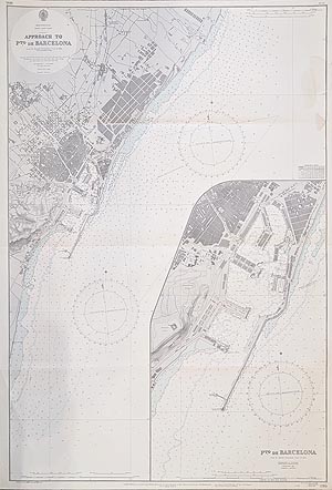
Barcelona
Admiralty Chart
1892-1957
£155.00
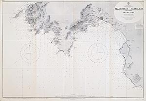
Mallorca - Palma Bay
Admiralty Chart
1890-1956
£295.00
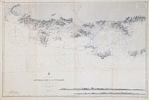
Approaches to Toulon
Admiralty Chart - French Riviera
1893-1956
£145.00
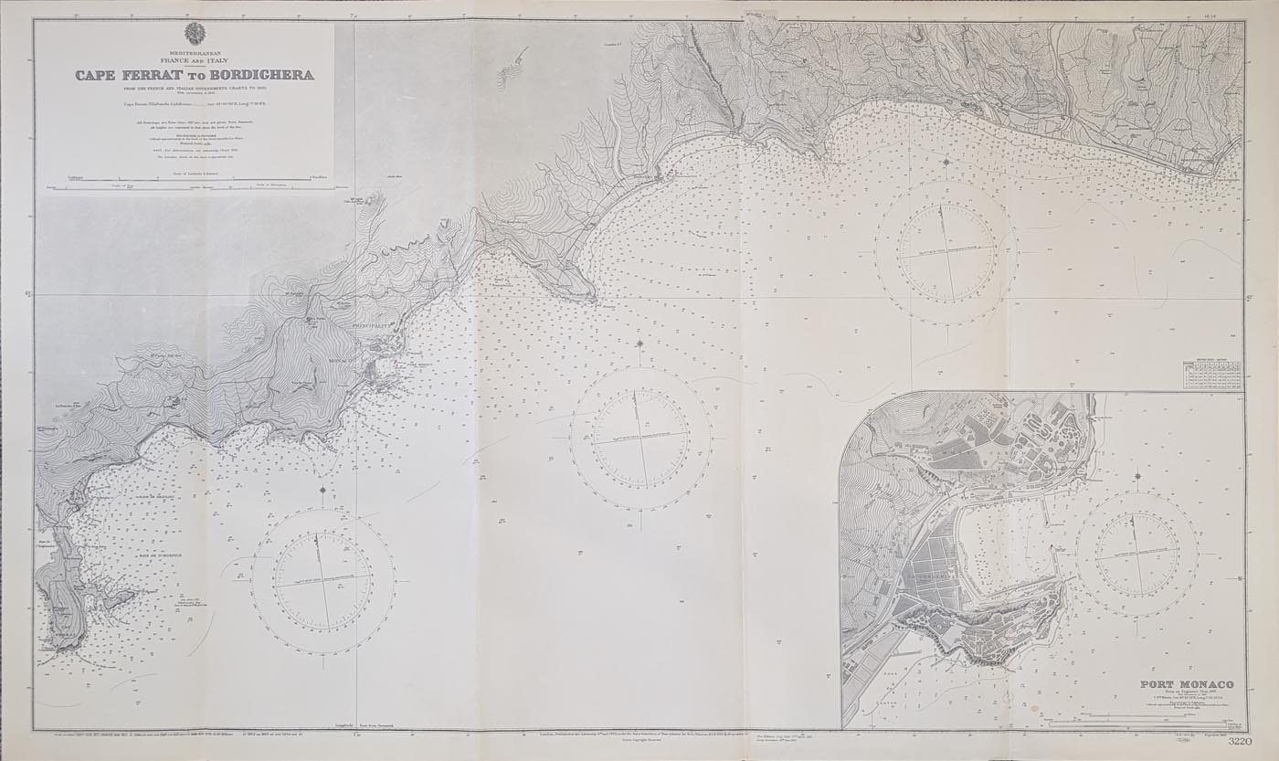
Monaco and the French Riviera
Admiralty Chart
1901-1954
£295.00
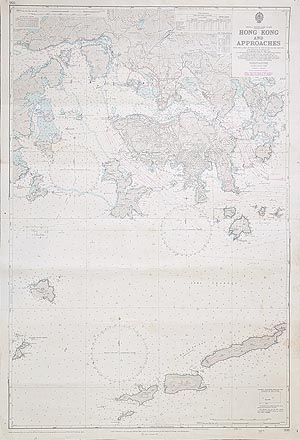
Hong Kong and Approaches
Admiralty Chart
1962-1979
£595.00
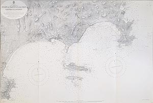
Cannes and Antibes
Admiralty Chart
1897-c.1956
£145.00
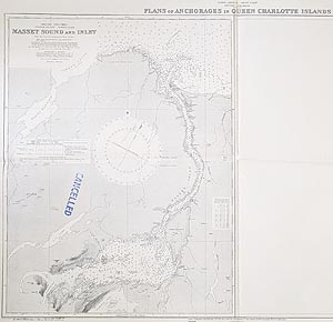
Masset Sound and Inlet
Admiralty Chart - British Columbia, Canada
1922-1953
£37.00
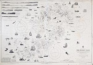
The Scilly Isles - Shipwrecks
Admiralty Chart
1906-1975
£145.00
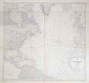
North Atlantic
Admiralty Chart
1883-1955
£37.00
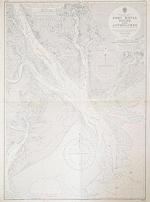
Port Royal Sound
Admiralty Chart
1956-60
£37.00
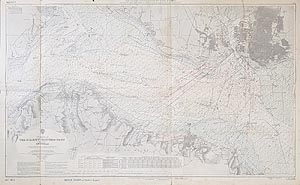
The Solent - Eastern Part
Admiralty Chart
1935-1957
£95.00
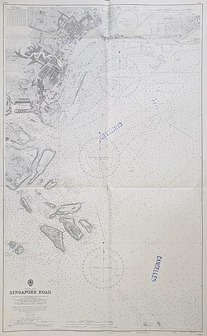
Singapore Road
Admiralty Chart
1935-56
£1250.00
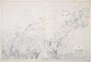
Port St. Malo and Approaches
Admiralty Chart
1928-1962
£100.00
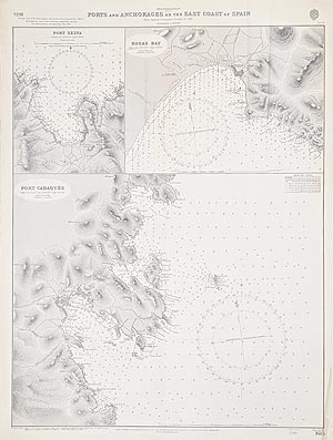
Ports of East Spain
Port Selva, Rosas Bay, Port Cadaqués
Admiralty Chart
1956-60
£95.00
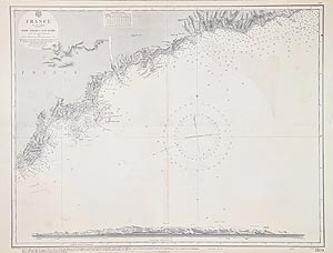
France and Italy South Coast
Cannes, Antibes, Nice, Monaco, San Remo
Admiralty Chart
1845 - 1955
£145.00
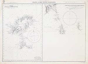
Balearic Islands - Ibiza and Formentera
Admiralty Chart
1902-56
£145.00
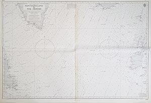
Newfoundland to Faroe Islands
Admiralty Chart
1959-1960
£37.00
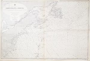
Newfoundland to Bermuda
Admiralty Chart
1919-1955
£37.00
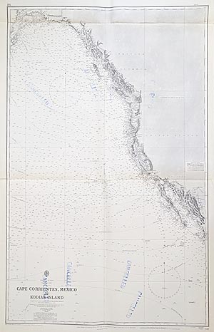
Cape Corrientes to Kodiak Island
Admiralty Chart - Mexico to Alaska
1877-1957
£37.00
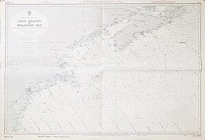
Cape Breton to Delaware Bay
Admiralty Chart - Canada
1944-57
£37.00
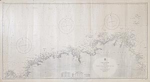
France - Brittany
Admiralty Chart
1823-1950
£75.00

St. Germans or Lyhner River
Admiralty Chart
1959
£85.00

Alderney & Casquets
Capt. Richards / Admiralty
1865-1958
£195.00

River Yealm Chart
Capt. J. H. L. Wharton - Admiralty
1861-1965
SOLD
Antique and Vintage Nautical Charts from the 19th and 20th century.
Mon - Closed
Tues-Fri 10am-1.30pm, 2.30-5.30pm
Sat 10am-1.30pm
© Devonshire Fine Art
 Free UK Mainland Delivery*
9 Church Street
Modbury
Devon PL21 0QW. UK
01548 830872


