
France - The Port of St. Malo
Back to: Admiralty Charts
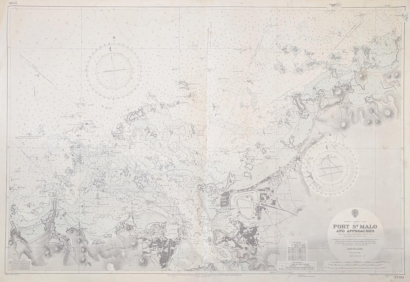
Title: France North Coast , Port St. Malo and Approaches from the French Government Chart of 1928, with corrections to 1961.
Publication: Admiralty Hydrographic Department
Date: 1823 - 1950
Description: Extensive vintage chart featuring the The Port of Saint Malo on the Brittany coast. Detailed depiction of the port and town with fortifications. Reproduced 31st May 1902 under the Superintendence of Rear Admiral H. P. Douglas.
Condition: Printed colour, creases and some minor, age related blemishes. Printed colour.
Image size: 660 x 1270mm
26 x 50"
approx.
£100.00
Order No. 4980
Click here for framing suggestions
St. Malo, North France, Brittany Coast Admiralty Chart
Opening Hours:
Mon - Closed
Tues-Fri 10am-1.30pm, 2.30-5.30pm
Sat 10am-1.30pm
© Devonshire Fine Art
Mon - Closed
Tues-Fri 10am-1.30pm, 2.30-5.30pm
Sat 10am-1.30pm
© Devonshire Fine Art
 Free UK Mainland Delivery*
Devonshire Fine Art
9 Church Street
Modbury
Devon PL21 0QW. UK
01548 830872
9 Church Street
Modbury
Devon PL21 0QW. UK
01548 830872


