
Newfoundland to Bermuda Sea Chart
Back to: Admiralty Charts
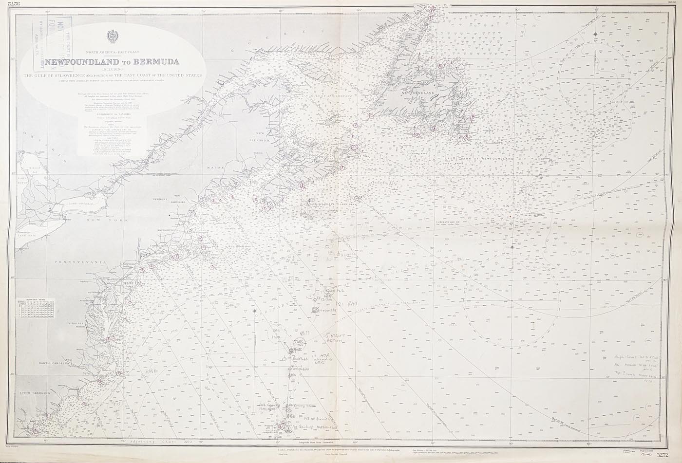
Title: North America East Coast NEWFOUNDLAND TO BERMUDA including the Gulf of St. Lawrence and Portion of the East Coast of the United States
Publication: Admiralty Hydrographic Department
Date: 1959-60
Description: Extensive vintage chart featuring Newfoundland, New Brunswick, Maine the Great lakes, New Hampshire, New York Philidephia Baltimore, Washington, Virginia North and South Carolina.
Condition: Printed colour, creases and some marginal splits and blemishes. Printed colour with contemporary hand written annotations.
Image size: 990 x 660mm
39 x 26"
approx.
£37.00
Order No. 4968
Click here for framing suggestions
Newfoundland to Bermuda Admiralty Chart
Opening Hours:
Mon - Closed
Tues-Fri 10am-1.30pm, 2.30-5.30pm
Sat 10am-1.30pm
© Devonshire Fine Art
Mon - Closed
Tues-Fri 10am-1.30pm, 2.30-5.30pm
Sat 10am-1.30pm
© Devonshire Fine Art
 Free UK Mainland Delivery*
Devonshire Fine Art
9 Church Street
Modbury
Devon PL21 0QW. UK
01548 830872
9 Church Street
Modbury
Devon PL21 0QW. UK
01548 830872


