
Antique Map of Berkshire by John Cary, 1792
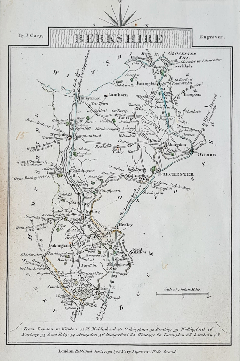

John Cary's Antique Map of Berkshire, 1792
This antique map of Berkshire was published by John Cary in Cary's Traveller's Companion and is dated 1 September 1792. It presents a detailed miniature representation of the historic English county and is an appealing example of late eighteenth-century county cartography.
The map has Bedfordshire printed on the reverse, making it useful for collectors interested in the historic maps of both counties. Its compact format reflects the practical nature of Cary's Traveller's Companion.
This example has later hand colouring, some age-related discolouration and a contemporary inscription.
Map Details
- County: Berkshire, England
- Mapmaker: John Cary
- Publication: Cary's Traveller's Companion
- Date: 1 September 1792
- Reverse: Bedfordshire
- Condition: Some age discolouration, contemporary inscription and later hand colouring
- Image dimensions: 150 × 95 mm (approximately 6 × 3.75 inches)
- Order number: 3830
- Price: £29.95
Explore More Antique Maps of Berkshire
This small antique map of Berkshire by John Cary dates from 1792 and has Bedfordshire on the reverse. It is part of our collection of historic maps of the English counties.
Browse our antique maps of Berkshire to discover other historic maps of the county.
You can also explore our antique maps of Bedfordshire for other historical representations of the neighbouring county.
For display options, visit our antique map framing service.
Mon - Closed
Tues-Fri 10am-1.30pm, 2.30-5.30pm
Sat 10am-1.30pm
© Devonshire Fine Art
 Free UK Mainland Delivery*
9 Church Street
Modbury
Devon PL21 0QW. UK
01548 830872


