
Antique Map of Berkshire by Archibald Fullarton, c.1833
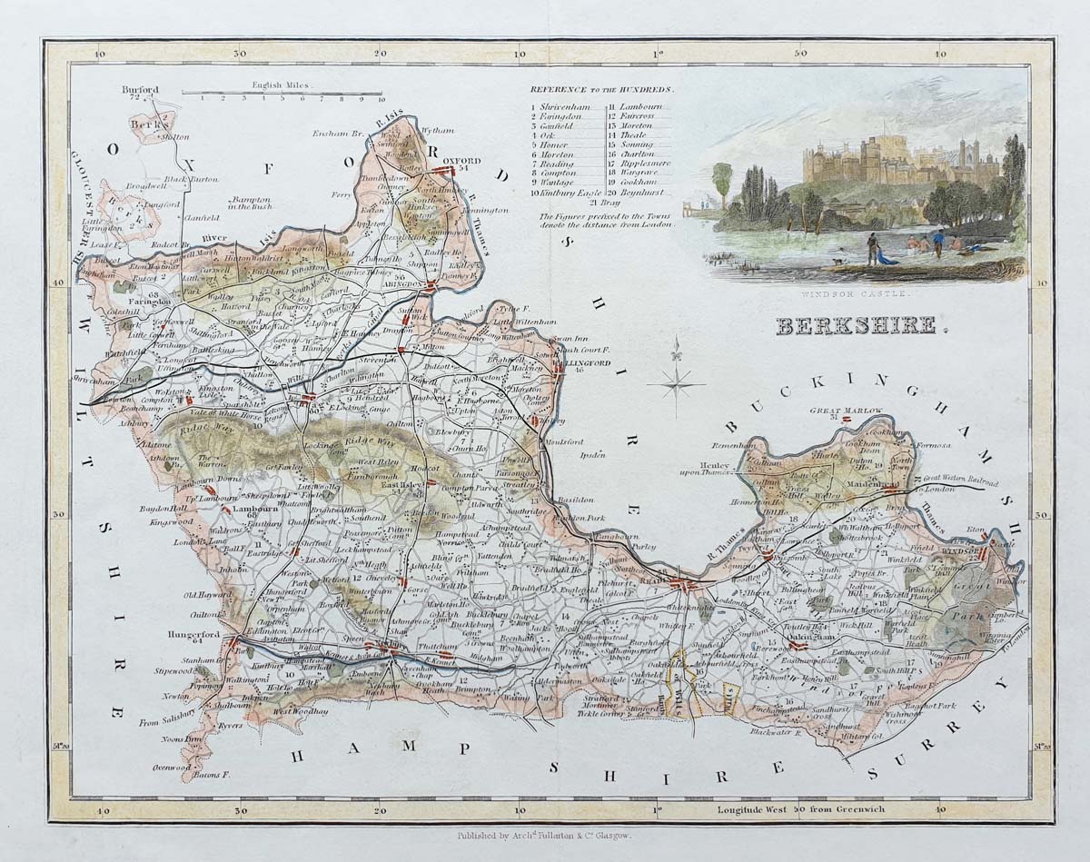
Antique Berkshire County Map by Archibald Fullarton
Discover this antique map of Berkshire by Archibald Fullarton, dating to around 1833. An appealing historical map of the English county, it features a decorative vignette of Windsor Castle and a table of the county's Hundreds.
Mapmaker: Archibald Fullarton
Location: Berkshire, England
Date: Circa 1833
Publication: Possibly the Parliamentary Gazetteer,
Glasgow; attribution to be confirmed
Condition: Good paper and imprint, with later
hand colouring
Image dimensions: 190 x 245 mm
(approximately 7.5 x 9.75 inches)
The decorative view of Windsor Castle adds particular interest to this historic county map. The table of Hundreds provides additional geographical and historical detail about Berkshire.
This original antique map would make an attractive addition to a collection of historic British county maps or a distinctive display piece for a home or study.
Price: £48.00
Order No.: 3804
Explore More Antique Maps
Why Choose This Berkshire Map?
This antique Berkshire county map by Archibald Fullarton, dating to circa 1833, combines historical geographical detail with a decorative view of Windsor Castle. Its later hand colouring and compact image size make it an appealing choice for collectors of British county maps and those interested in Berkshire's history.
Frequently Asked Questions
How old is this antique map of Berkshire?
The map by Archibald Fullarton dates to approximately 1833.
What does the map show?
It depicts Berkshire and includes a decorative vignette of Windsor Castle and a table of Hundreds.
Has the map been hand coloured?
Yes. The map has later hand colouring.
Can this antique Berkshire map be framed?
Framing options are available. See our antique map framing service.
What are the dimensions of the map?
The image measures approximately 190 x 245 mm (7.5 x 9.75 inches).
Mon - Closed
Tues-Fri 10am-1.30pm, 2.30-5.30pm
Sat 10am-1.30pm
© Devonshire Fine Art
 Free UK Mainland Delivery*
9 Church Street
Modbury
Devon PL21 0QW. UK
01548 830872


