
North Polar Chart - Artic Map
Back to: Miscellaneous
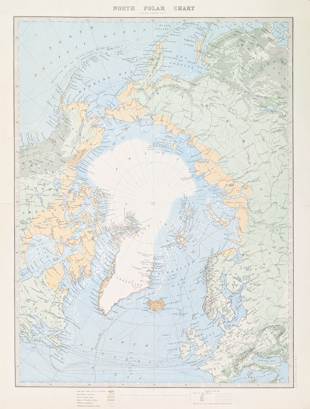
Title: North Polar Chart by Keith Johnston FRGS
Publication: Handy Royal Atlas of Modern Geography by W. and A. K. Johnston
Date: 1886
Description: Large, 19th century chart of the Artic. Atlas dedicated to H.R.H. Albert Edward Price of Wales.
Condition: Chromolithograph print, folding copy as published. Good clean copy.
Image size: 465 x 330mm, 18 x 13" approx.
SOLD
Order No. 4772
Late Victorian map of the North Pole
Opening Hours:
Mon - Closed
Tues-Fri 10am-1.30pm, 2.30-5.30pm
Sat 10am-1.30pm
© Devonshire Fine Art
Mon - Closed
Tues-Fri 10am-1.30pm, 2.30-5.30pm
Sat 10am-1.30pm
© Devonshire Fine Art
 Free UK Mainland Delivery*
Devonshire Fine Art
9 Church Street
Modbury
Devon PL21 0QW. UK
01548 830872
9 Church Street
Modbury
Devon PL21 0QW. UK
01548 830872


