
South Pole by Bartholomew 1920
Back to: Miscellaneous Polar Maps
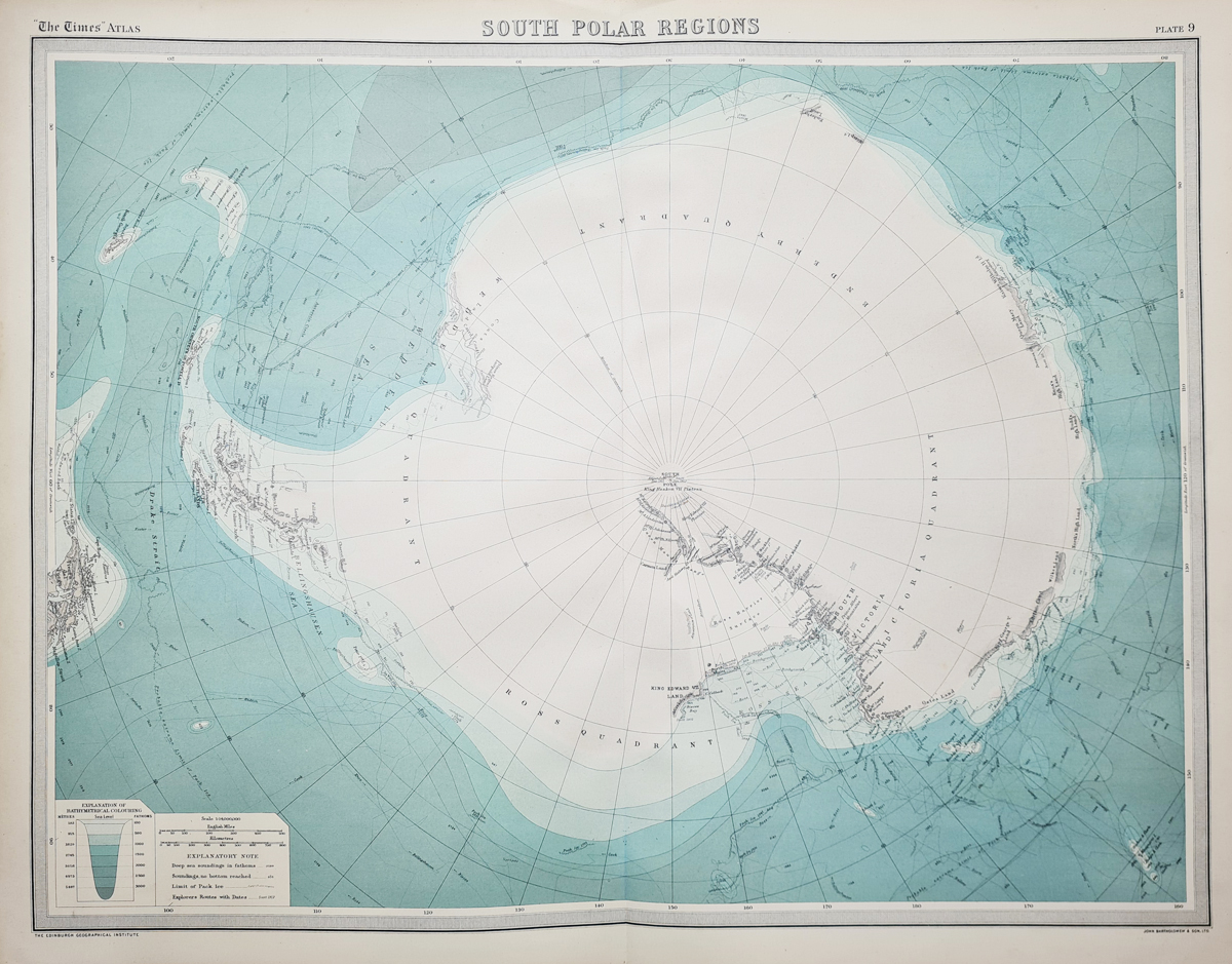
Title: South Polar Chart
Publication: The Times Atlas by John Bartholomew and Son, for the Edinburgh Geographical Institute
Date: 1920
Description: Chromolithograph print, with an 'Explanation of Bathymetrical Colouring' and ascale of miles and kilometres with Explanitory Notes. denoting explorer's routes including Armundsen and Scott.
Condition: Folding copy, good paper and imprint.
Image size: 430 x 550mm, 17 x 121.25" approx.
SOLD
Order No. 42452
Click here for framing suggestions
Antique map of the South Pole
Opening Hours:
Mon - Closed
Tues-Fri 10am-1.30pm, 2.30-5.30pm
Sat 10am-1.30pm
© Devonshire Fine Art
Mon - Closed
Tues-Fri 10am-1.30pm, 2.30-5.30pm
Sat 10am-1.30pm
© Devonshire Fine Art
 Free UK Mainland Delivery*
Devonshire Fine Art
9 Church Street
Modbury
Devon PL21 0QW. UK
01548 830872
9 Church Street
Modbury
Devon PL21 0QW. UK
01548 830872


