
Antique Map of Bedfordshire by Bowen & Owen, c.1720
Browse our antique maps of Bedfordshire and discover historic county maps from earlier centuries.
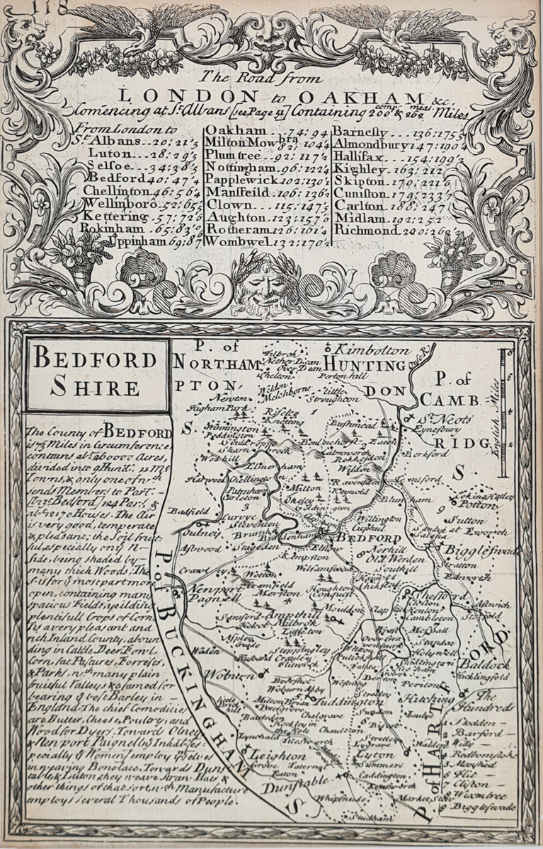
Bedfordshire Map by Bowen & Owen, c.1720
This antique map of Bedfordshire was published around 1720 in Britannia Depicta, associated with Thomas Bowles. The map was produced by Emanuel Bowen and John Owen and provides an early eighteenth-century depiction of the county.
The map features Bedford, Newport Pagnell, Biggleswade and Woburn, together with accompanying text and a mileage chart. These details make it an interesting piece for collectors of antique British county maps and those researching the historic geography of Bedfordshire.
Map details
- County: Bedfordshire, England
- Mapmakers: Emanuel Bowen and John Owen
- Publication: Britannia Depicta, associated with Thomas Bowles
- Date: Circa 1720
- Features: Accompanying text and mileage chart, page 118
- Condition: Bold imprint and frayed margins; engraved image unaffected; uncoloured
- Image size: 121 × 188 mm (approximately 4.75 × 7.5 inches)
- Reference number: 3211
Price: £45.00
Explore framing options for antique maps
View delivery information | Read our terms and returns policy
An Early Eighteenth-Century Map of Bedfordshire
Published around 1720, this antique Bedfordshire map by Emanuel Bowen and John Owen belongs to the tradition of early illustrated county mapping. Its place names and accompanying mileage chart offer an insight into how Bedfordshire was represented in the early eighteenth century.
This uncoloured antique map is suitable for collectors of historic maps, local history enthusiasts and anyone interested in Bedfordshire's past.
Mon - Closed
Tues-Fri 10am-1.30pm, 2.30-5.30pm
Sat 10am-1.30pm
© Devonshire Fine Art
 Free UK Mainland Delivery*
9 Church Street
Modbury
Devon PL21 0QW. UK
01548 830872


