
Antique Map of Birmingham by Rapkin
Back to: John Rapkin | City Maps
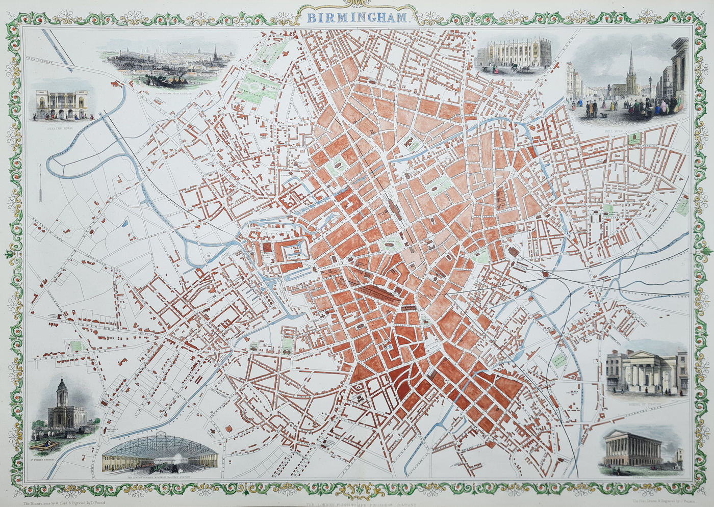
Birmingham
Publication: The London Printing and Publishing Company
Date: c.1851
Description: Drawn and engraved by John Rapkin. Very decorative mid-Victorian plan with vignettes drawn and engraved by H. Bibby, including Birmingham from Highgate, Theatre Royal, King Edwards School, Bull Ring, School of Sign, Town Hall, St. Philip's Church and The London & North Western Railway Station.
Condition: Later hand colouring, folding copy as published. Good imprint and paper.
Image size: 365 x 510mm
10.5 x 14.25" approx.
£275.00
Order No. 4569
Click here for framing suggestions
John Rapkin (fl. 1835-65)
A nineteenth century map maker and engraver, best known for his work on the Illustrated Atlas of the World 1849-53 for John Tallis and Co. noted for their beautifully decorative borders and later re-issued by the London Printing and Publishing Co. London and New York.
19th century town plan of Birmingham by John Rapkin
Mon - Closed
Tues-Fri 10am-1.30pm, 2.30-5.30pm
Sat 10am-1.30pm
© Devonshire Fine Art
 Free UK Mainland Delivery*
9 Church Street
Modbury
Devon PL21 0QW. UK
01548 830872


