
Antique Map of Bristol by William Lander, c.1840
Discover this scarce antique map of Bristol by William Lander, dating from circa 1840. Titled Lander's Electoral District Map of the City and County of Bristol, it illustrates the electoral geography of Bristol in the early Victorian period, including information relating to parliamentary and municipal voting qualifications. Separately copied from the Ordnance Survey, with additions and corrections to 1840, this original hand-coloured map is dissected and laid on linen and retains its hardback cover. Available from Antique Maps Online for £695.00.
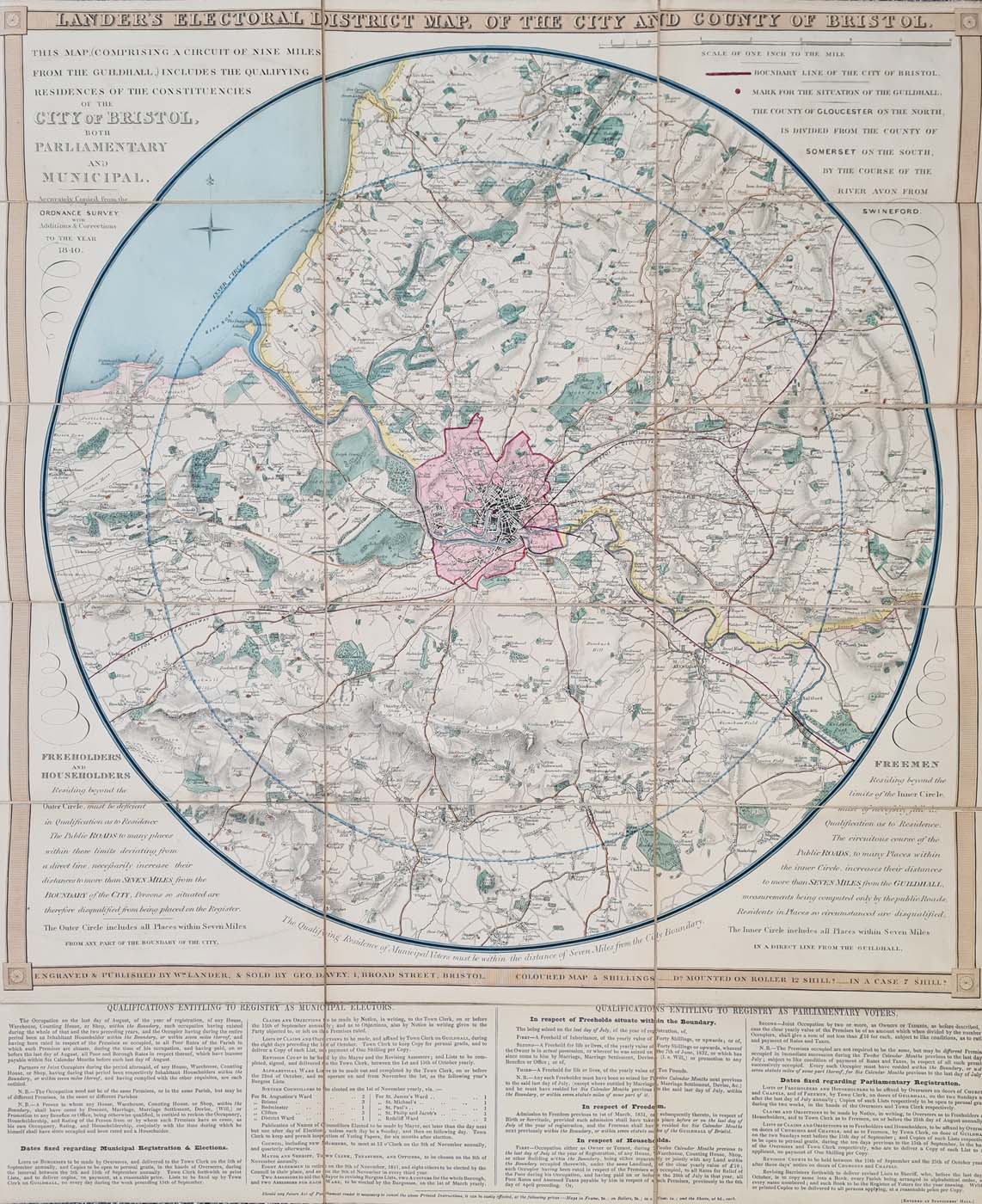
Title: Lander's Electoral District Map, of the City and County of Bristol.
Publication: Engrave and Published by Wm. Lander & sold by Geo. Davey, 1 Broad Street, Bristol. Coloured Map 5 Shillings - Do. on roller 12 shill's - In a case 7 shill's.
Date: c. 1840
About Lander's Electoral Map of Bristol, c.1840
Lander's Electoral District Map of the City and County of Bristol was produced around 1840 by William Lander and sold by George Davey at 1 Broad Street, Bristol. The map was separately copied from the Ordnance Survey, with additions and corrections to 1840.
Parliamentary and Municipal Electoral Boundaries
The map records information about the residential qualifications of parliamentary and municipal electors in Bristol. Its concentric circles illustrate geographical limits relevant to electoral qualification, distinguishing distances measured in a direct line from those calculated along public roads.
Original Features and Condition
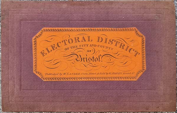
This scarce historical Bristol map retains its original hand colouring and is dissected and laid on linen, with a hardback cover. The map measures approximately 603 x 491 mm (23.75 x 19.25 inches). Please refer to the photographs for further details of its appearance and condition.
Antique Bristol Electoral Map — Price and Details
- Mapmaker: William Lander
- Title: Lander's Electoral District Map of the City and County of Bristol
- Date: Circa 1840
- Subject: Bristol parliamentary and municipal electoral districts
- Technique: Printed map with original hand colouring
- Condition: Dissected and laid on linen, with hardback cover
- Map size: 603 x 491 mm (23.75 x 19.25 inches), approximately
- Order number: 4165
- Price: £695.00
Explore our antique map framing options
Click here for framing suggestions
Explore More Antique Maps of Bristol and Somerset
Discover more antique maps of Bristol, or browse our wider collection of antique city maps. You can also explore our antique maps of Bath and other historic maps of the British Isles.
Frequently Asked Questions
Who made the antique electoral map of Bristol?
The map was produced by William Lander and sold by George Davey at 1 Broad Street, Bristol.
When was Lander's Bristol map published?
The map dates from circa 1840 and states that it was copied separately from the Ordnance Survey, with additions and corrections to that year.
What does the Bristol electoral map show?
It records geographical information relating to parliamentary and municipal electoral qualifications, including concentric circles used to illustrate relevant residential distances.
What is the condition of this antique map?
The map is dissected and laid on linen, with a hardback cover and original hand colouring.
How large is the map?
The stated map size is approximately 603 x 491 mm, or 23.75 x 19.25 inches.
Mon - Closed
Tues-Fri 10am-1.30pm, 2.30-5.30pm
Sat 10am-1.30pm
© Devonshire Fine Art
 Free UK Mainland Delivery*
9 Church Street
Modbury
Devon PL21 0QW. UK
01548 830872


