
Brussels by Braun and Hogenberg
Back to: Belgium | Antique City Maps
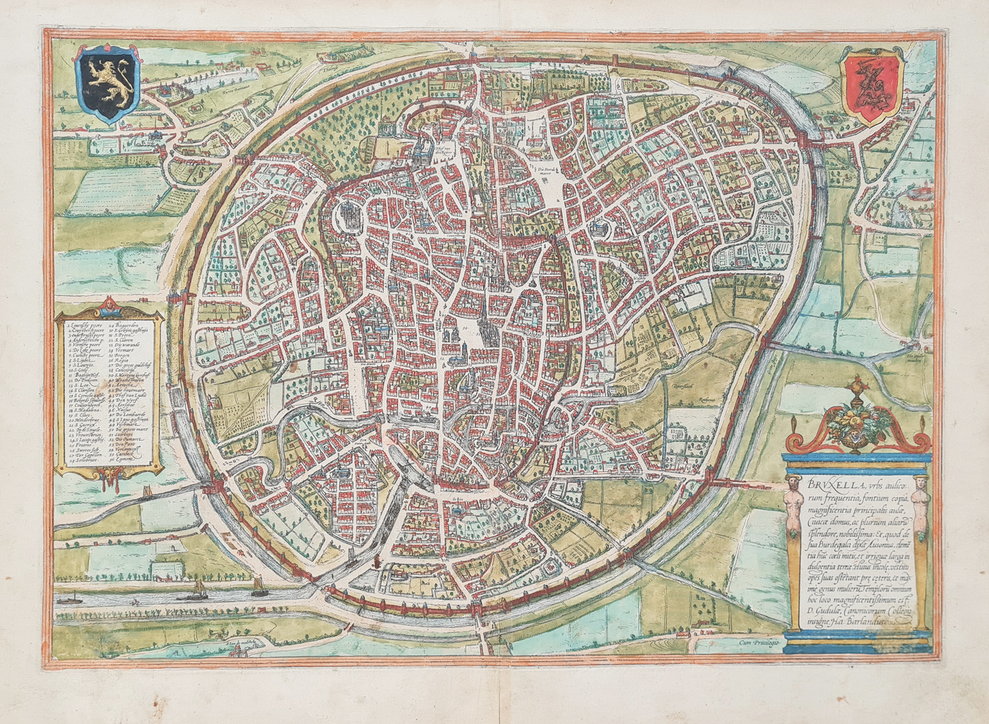
Title: Bruxella, Urbs Aulicorum Frequentia, Fontium Copia, Magnificentia Principalis Aulae ....
Publication: Civitates Orbis Terrarum.
Date: c. 1572
Description: 16th century map of the city by Georg Braun, born 1542 and Frans Hogenberg. One of the earliest maps of Brussels, Latin text verso. The churches and public buildings are listed in a numbered index in the bottom left corner. Coats of arms of Brussels and Brabant are depicted in the top corners. The city wall, gates, rivers and canals are depicted. Beautiful early map.
Condition: Good paper and imprint, early hand colouring, some age related blemishes and toning.
Image size: 338 x 480mm, 13.25 x 19" approx.
SOLD
Order No. 4599
Georg Braun 1541-1622 and Frans Hogenberg c. 1536-88
Frans Hogenberg published in Cologne, a city atlas intended to be a companion to the earlier Theatrum Orbis Terrarum entitled Civitates Orbis Terrarum which was edited by Georg Braun. Comprising six volumes published between 1572 and 1618 they contained more than 500 plans including this plan of Exeter in Vol.6 dated 1618. The atlas provided a fascinating 16th century record of the principal cities and towns in Europe, Asia, Africa and America. Most plans are depicted as a bird's eye view with decorative backgrounds and include names of prominent buildings and streets as well as heraldic references. The original volumes were issued with Latin text verso, later copies included German and French.
Mon - Closed
Tues-Fri 10am-1.30pm, 2.30-5.30pm
Sat 10am-1.30pm
© Devonshire Fine Art
 Free UK Mainland Delivery*
9 Church Street
Modbury
Devon PL21 0QW. UK
01548 830872


