
Cardiganshire by Cole and Roper
Back to: Wales and Welsh Counties
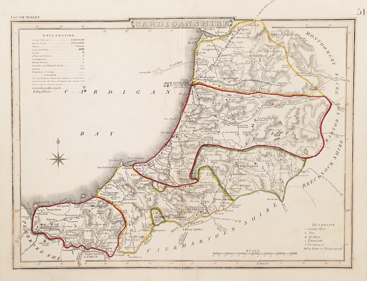
Title: Cardiganshire
Publication: English Topography by the Rev. J. Nightingale
Date: c.1816
Description: 19th century map of Ceredigion or Cardiganshire, features Cardigan,LLampeter, Aberaeron. By George Cole and John Roper
Condition: Good imprint and paper, minor blemishes, early hand colouring
Image size: 175 x 230mm, 7 x 9" approx.
£25.00
Order No. 3834
Early 19th century map of Cardiganshire
Opening Hours:
Mon-Sat 10am-1.30pm, 2.30-5.30pm
Wed 10am-1.30pm
Mon-Sat 10am-1.30pm, 2.30-5.30pm
Wed 10am-1.30pm
© Alpha Websites
 Free UK Mainland Delivery*
Devonshire Fine Art
9 Church Street
Modbury
Devon PL21 0QW. UK
01548 830872
9 Church Street
Modbury
Devon PL21 0QW. UK
01548 830872
Join our mailing list


