
19th Century Map of China and Tibet
Back to: China
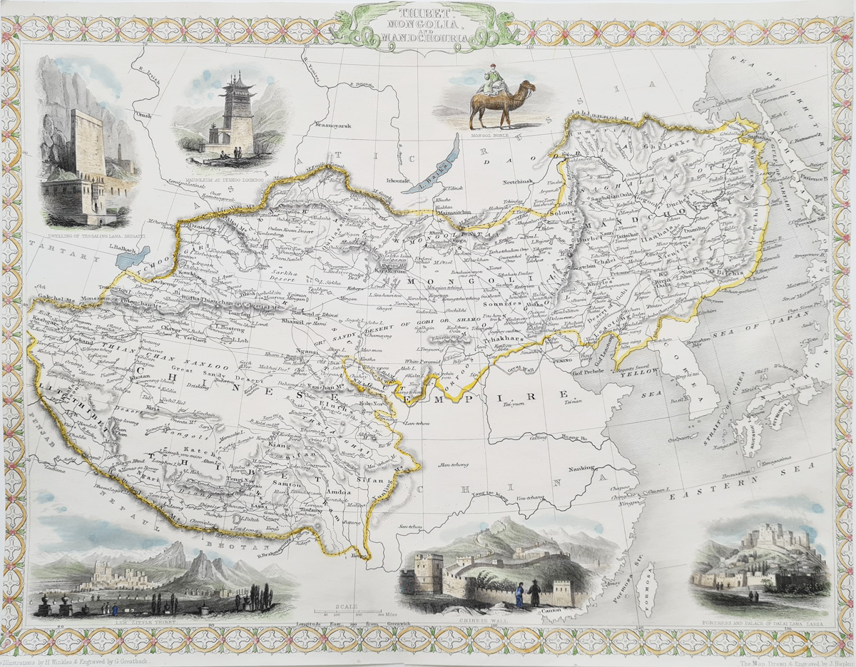
Title: Thibet, Mongolia & Manchuria
Publication: The Illustrated Atlas, and Modern History of the World, Geographical Political, Commercial & Statistical
Date: circa 1851
Description: Decorative map of Tibet, Mongolia and Manchuria, within an ornate border, decorated with six vignettes, including views of Lhasa, Leh (now part of Ladakh in India) and the Great Wall of China.
Condition: Good lithographic imprint, later hand colouring, folding copy as published, slightly cropped side borders.
Image size: 227 x 279mm
9 x 11" approx.
SOLD
Order No. 3989
Antique map of the West Indies for sale
Opening Hours:
Mon - Closed
Tues-Fri 10am-1.30pm, 2.30-5.30pm
Sat 10am-1.30pm
© Devonshire Fine Art
Mon - Closed
Tues-Fri 10am-1.30pm, 2.30-5.30pm
Sat 10am-1.30pm
© Devonshire Fine Art
 Free UK Mainland Delivery*
Devonshire Fine Art
9 Church Street
Modbury
Devon PL21 0QW. UK
01548 830872
9 Church Street
Modbury
Devon PL21 0QW. UK
01548 830872


