
Cornwall by J. L. Luffman
Back to: Cornwall
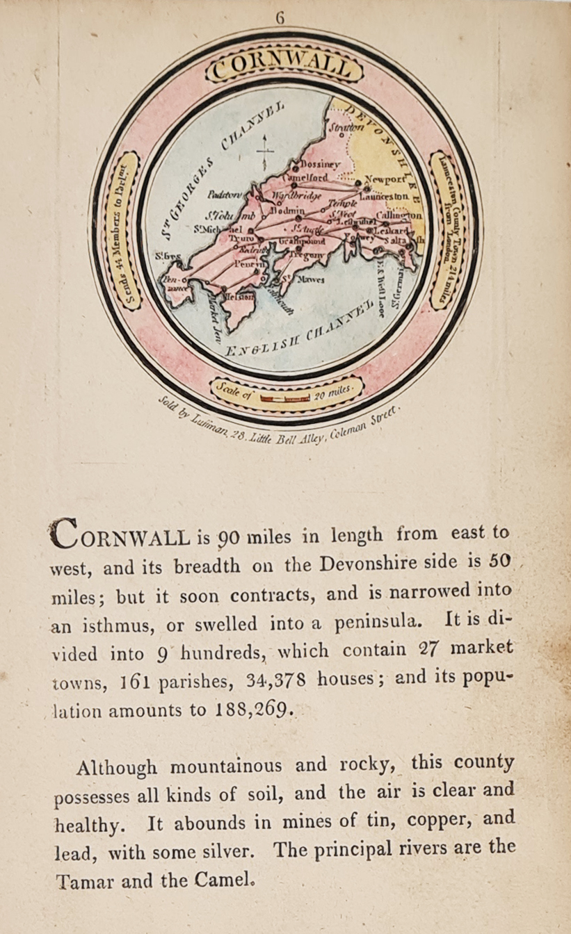
Title: Cornwall
Publication: A New Pocket Atlas of England and Wales
Date: 1803
Description: Scarce miniature map with related text, copperplate line engraving.
Condition: Some age toning to paper, later hand colouring, minor marginal marks.
Image size: 60mm or 2.5" diameter approx.
SOLD
Order No. 4135
Georgian map of the county of Cornwall by John Luffman
John Luffman (fl. c. 1776 - 1820)
London engraver, publisher and professional goldsmith, he worked from various premises: 98 Newgate Street in 1776, 85 London Wall in 1780, Finsbury Square 1789, Inner Sweeting Alley, Royal Exchange in 1799, Little Bell Alley, Coleman Street 1800 and 377 Strand from 1807. He was an author in his own right and an accomplished geographer.
His first works were engravings of road maps in Taylor And Skinner's Survey And Maps Of The Roads Of North Britain, Or Scotland in 1776, followed by some city plans and a number of county maps, including Rutland and Essex.
In 1803 Luffman engraved, printed and published his best known work, A Pocket Atlas. The unusual circular maps featured detailed, descriptive, topographical text below.
Luffman built his business by quickly responding to political events with illustrative maps produced just as interest in specific areas piqued: for example his map of Napoleon's proposed naval invasion of England and his map of the island of Ceylon following the 1801 colonization by the British. He also produced a number of fortification plans during the Napoleonic war.
Mon - Closed
Tues-Fri 10am-1.30pm, 2.30-5.30pm
Sat 10am-1.30pm
© Devonshire Fine Art
 Free UK Mainland Delivery*
9 Church Street
Modbury
Devon PL21 0QW. UK
01548 830872


