
Antique Map of Cornwall by John Seller and Francis Grose, c.1773
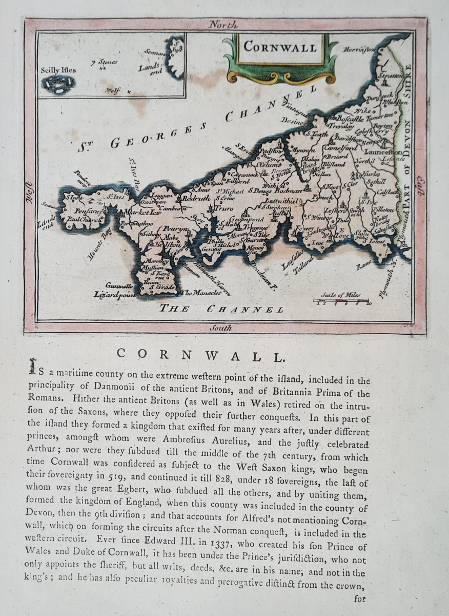
Antique Map of Cornwall
Mapmaker: John Seller, with additional text by Francis Grose
Publication: The Antiquities of England and Wales
Date: Circa 1773
Description: An attractive 18th-century county map of Cornwall, published in Francis Grose's The Antiquities of England and Wales, following the work of John Seller.
Condition: Later hand colouring, with descriptive text on the reverse. Some age-related spotting.
Image size: 210 x 150mm, 8.25 x 6" approximately, including text.
Price: £75.00
Order No.: 4267
Click here for framing suggestions
18th Century Antique Map of Cornwall by Seller and Grose
This attractive antique map depicts the historic county of Cornwall and dates from approximately 1773. It was published in Francis Grose's The Antiquities of England and Wales, with additional text following the earlier work of mapmaker John Seller.
Produced during the 18th century, the map is an interesting historical record of Cornwall and its geography. Its period appearance and later hand colouring make it an appealing addition to a collection of antique maps of Cornwall or British county maps.
The map has later hand colouring and descriptive text printed on the reverse. There is some age-related spotting, consistent with its age. Please refer to the photographs for a closer view of its appearance and condition.
Priced at £75, this original antique map would interest collectors of historic maps, enthusiasts of Cornish history and anyone looking for an authentic historical map of Cornwall.
About John Seller and Francis Grose
John Seller was an important early English mapmaker and publisher. Francis Grose was an antiquary whose multi-volume work, The Antiquities of England and Wales, included descriptions and illustrations of historic British places and buildings. This map is associated with that publication and offers an insight into the way Cornwall was represented in historical works of the period.
Explore More Antique Maps of Cornwall
Browse our collection of antique maps of Cornwall, including historic county maps from the 17th, 18th and 19th centuries.
You can also explore our wider collection of antique maps of the British Isles.
Frequently Asked Questions
When was this antique map of Cornwall published?
The map dates from approximately 1773 and was published in Francis Grose's The Antiquities of England and Wales.
Who made the map?
The map is associated with John Seller, with additional text published by Francis Grose.
Is this an original antique map?
This is offered as an antique map dating from the 18th century, not a modern reproduction.
What is the condition of the map?
It has later hand colouring, descriptive text on the reverse and some age-related spotting.
Can the map be framed?
Yes. Please see our antique map framing suggestions.
Mon - Closed
Tues-Fri 10am-1.30pm, 2.30-5.30pm
Sat 10am-1.30pm
© Devonshire Fine Art
 Free UK Mainland Delivery*
9 Church Street
Modbury
Devon PL21 0QW. UK
01548 830872


