
Coastlines of Devon and Dorset by Andrew Dury
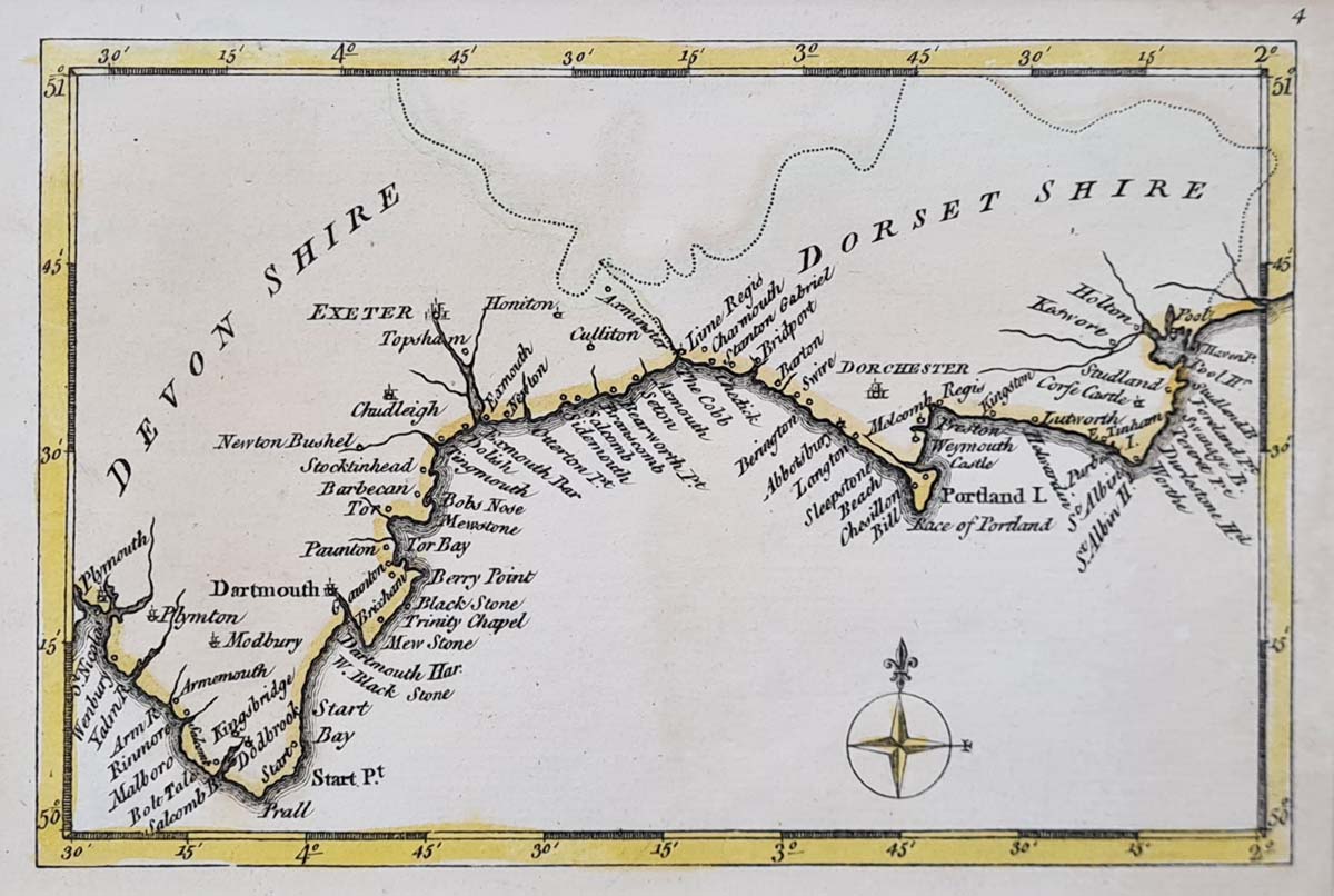
Title: South Coast of Devon and Dorset
Publication: Possibly from A Collection of plans of the principal cities of Great Britain and Ireland with maps of the coast of the said kingdoms.
Date: 1769
Description: Detailed miniature map of the coastlines of Devon and Dorset from Plymouth to Poole, very scarce.
Condition: Good paper and imprint, copperplate, later hand colouring.
Image size: approx.
£55.00
Order No. 4413
Click here for framing suggestions
18th century map of Devon and Dorset by Andrew Drury
Andrew Dury (fl. circa 1760-1777) A British map and print publisher who was based at Duke's Court, St. Martin's Lane in London. He was an accomplished mapmaker but substantially less successful than contemporaries such as Thomas Jefferys or William Faden, and his maps are relatively quite rare. Dury's name is most commonly associated with Rennell's large Indian maps. Dury was also responsible for Revolutionary War era plans of Boston and Philadelphia, as well as a series of maps related to the Russo-Turkish War of 1768-74. Produced large scale maps of county maps of Hertfordshire 1766 (with J. Andrews and W. Faden) and Middlesex (Twenty Five miles around London on 20 sheets in 1777). Published a pocket atlas of the World circa 1761 - The New General and Universal Atlas
Mon - Closed
Tues-Fri 10am-1.30pm, 2.30-5.30pm
Sat 10am-1.30pm
© Devonshire Fine Art
 Free UK Mainland Delivery*
9 Church Street
Modbury
Devon PL21 0QW. UK
01548 830872


