
Devonshire by John Harrison 1789
Back to: Devonshire
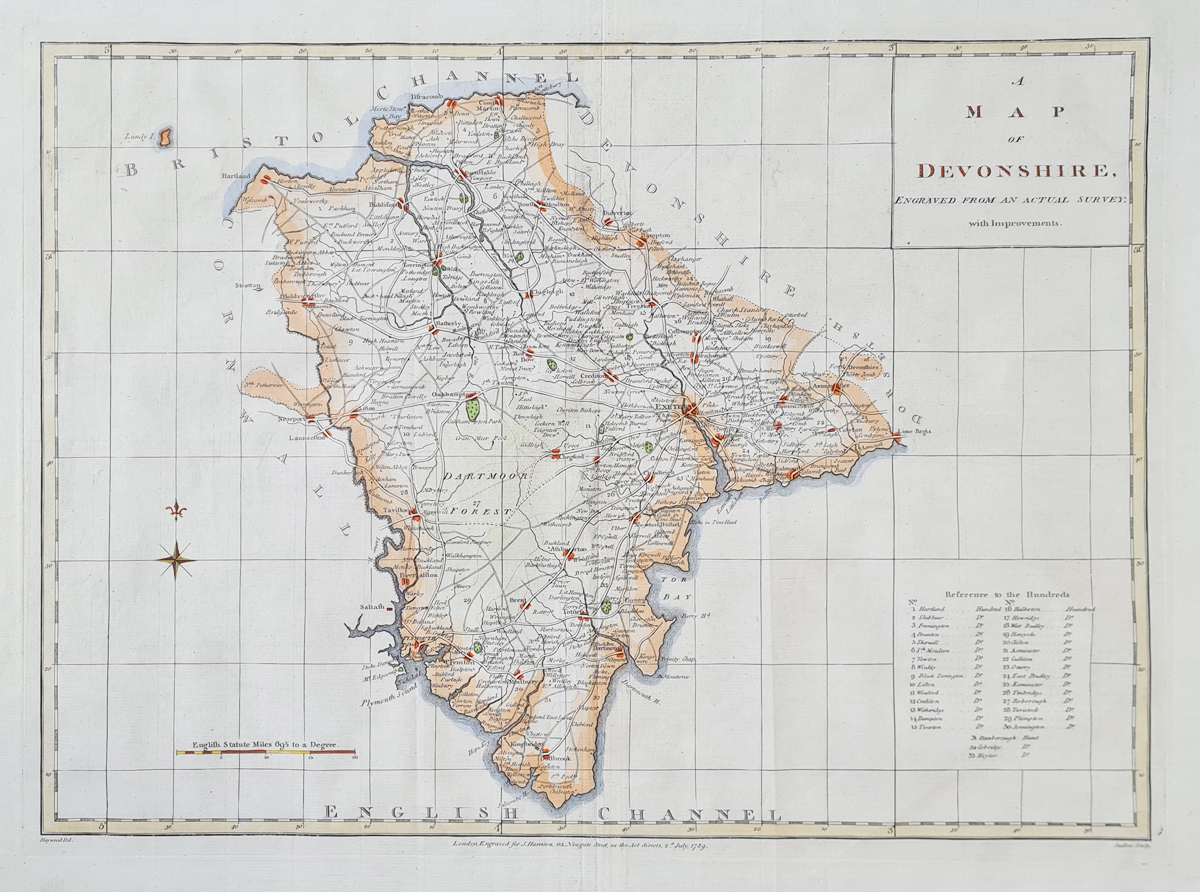
Title: A MAP OF DEVONSHIRE ENGRAVED FROM AN ACTUAL SURVEY, WITH Improvements.
Publication: Maps and Plans and Plans of Tindal's Continuation of Rapin's History of England. London Engraved for J. Harrison 115 Newgate Street, as the Act directs 2nd July 1789
Date: 2nd July 1789
Description: 18th century county map, easy to read. Drawn by James Haywood and engraved by E. Sudlow
Condition: Good paper and imprint, folding copy as published. Later hand colouring.
Image size: 330 x 460mm, 13 x 18"approx.
£155.00
Order No. 4369
18th century map of Devon by Harrison
Opening Hours:
Mon - Closed
Tues-Fri 10am-1.30pm, 2.30-5.30pm
Sat 10am-1.30pm
© Devonshire Fine Art
Mon - Closed
Tues-Fri 10am-1.30pm, 2.30-5.30pm
Sat 10am-1.30pm
© Devonshire Fine Art
 Free UK Mainland Delivery*
Devonshire Fine Art
9 Church Street
Modbury
Devon PL21 0QW. UK
01548 830872
9 Church Street
Modbury
Devon PL21 0QW. UK
01548 830872


