
East Anglia WWII Military Map 1939
Back to: Old Military Maps
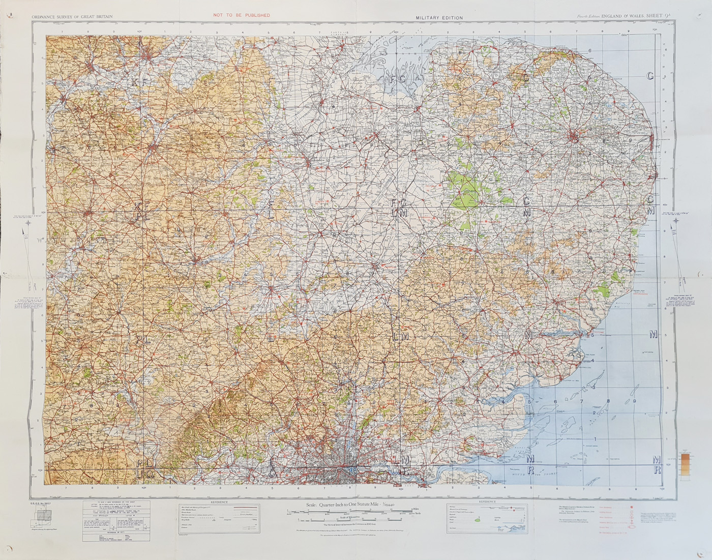
Title: East Anglia
Publication: Ordnance Survey of England and Wales - MILITARY EDITION
Date: 1939
Description: Sheet 9A of the Ordnance Survey extending from London in the South to The Wash in the North. Overprinted in red, dated and inscribed 'Air information correct to 20.11.1939'. Has an additional key in red depicting the following information:
Land Aerodrome
Landing Ground
Water Aerodrome
Seaplane Mooring Area or Anchorage
Airship Base
Also inscribed at the top, 'NOT TO BE PUBLISHED'. The British Expeditionary force had embarked for France on the 4th of September 1939 only 16 days before this map was produced. Seven months later from 26th May 1940, they were evacuated from Dunkirk. 'Not to be published' has particular significance, as the Luftwaffe began bombing Britain in June 1940 and if this map had fallen into the wrong hands, it could have proved disastrous! This map was produced using different colours to denote the height of the land, before contours lines superceded them.
Condition: Folding copy laid on linen, some wear at folds, generally good. Photolitho print.
Image size: 800 x 1040mm, 31.5 x 41" approx.
SOLD
Order No. 4558
Click here for framing suggestions
WWII Military map of East Anglia 1939
Mon - Closed
Tues-Fri 10am-1.30pm, 2.30-5.30pm
Sat 10am-1.30pm
© Devonshire Fine Art
 Free UK Mainland Delivery*
9 Church Street
Modbury
Devon PL21 0QW. UK
01548 830872


