
Antique Map of Europe by Rapkin
Back to: Europe | John Rapkin
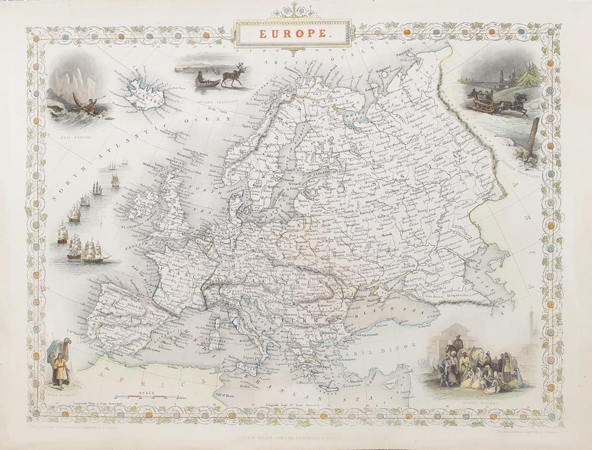
Europe
Publication: Tallis's Illustrated Atlas, J. & F. Tallis
Date: c.1851
Description: Drawn and engraved by John Rapkin. Very decorative mid-Victorian plan with vignettes drawn by J. Marchant and engraved by J. Rogers, including Seal Hunting, Lapland Travellers, Russian Travellers, Arab and Camel.
Depicts the continet of Europe including Iceland
Condition: Later hand colouring, folding copy as published. Minor age discolouration.
Image size: 265 x 360mm
10.5 x 14.25" approx.
SOLD
Order No. 3862
John Rapkin (fl. 1835-65)
A nineteenth century map maker and engraver, best known for his work on the Illustrated Atlas of the World 1849-53 for John Tallis and Co. noted for their beautifully decorative borders and later re-issued by the London Printing and Publishing Co. London and New York.
19th century map of Europe by John Rapkin
Mon - Closed
Tues-Fri 10am-1.30pm, 2.30-5.30pm
Sat 10am-1.30pm
© Devonshire Fine Art
 Free UK Mainland Delivery*
9 Church Street
Modbury
Devon PL21 0QW. UK
01548 830872


