
Antique Map of Exeter by Pieter van der Aa, 1729
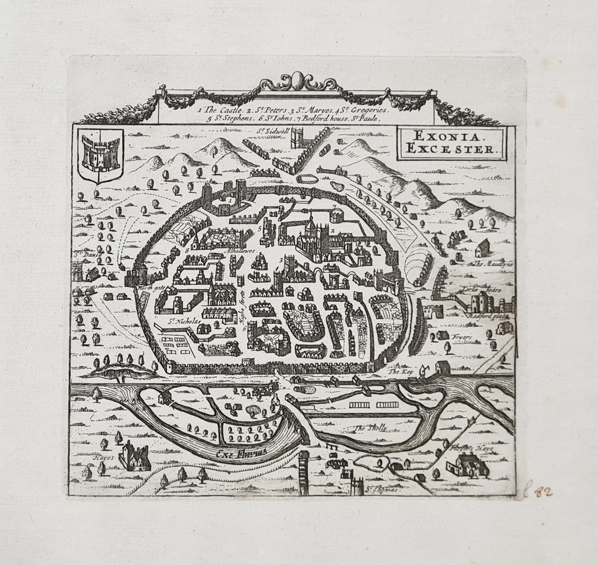
Exonia Excester – Original Antique Map, 1729
Cartographer: Pieter van der Aa, after Rutger Hermannides
Date: 1729
Publication: La galérie agréable du monde
Location depicted: Exeter, Devon, England
This scarce early 18th-century miniature antique map depicts the historic city of Exeter in Devon. Published by Pieter van der Aa, the map is titled Exonia Excester and is based on the work of Rutger Hermannides.
The decorative design features a border containing a key to seven numbered sites, with additional locations named on the map. A trompe-l'oeil frame and a coat of arms in the upper-left corner add to its visual appeal.
Condition and Dimensions
The map has generous margins and a bold impression. There is minor spotting to the margins and a contemporary ink annotation at the bottom right. Please examine the photographs for further details of its condition.
- Map dimensions: 125 × 132 mm
- Approximate size: 5 × 5.25 inches
- Order number: 4073
- Price: £295.00
About Pieter van der Aa and the 1729 Map of Exeter
Pieter van der Aa (1659–1733) was a Dutch publisher and bookseller based in Leiden, known for producing illustrated books, atlases and geographical works. His publications included maps and town views covering places throughout Europe and beyond.
This miniature view of Exeter, titled Exonia Excester, belongs to the tradition of decorative European town views published during the early 18th century. Its numbered key, named sites, ornamental border and trompe-l'oeil framing make it an interesting historical record of how the city was represented to contemporary readers.
Exeter is one of Devon's historic cities, and antique maps of the area appeal to collectors of Devonshire history, British town plans and early European cartography.
Explore our antique maps of Devon to discover further historic maps of the county.
Frequently Asked Questions
Who published the antique map of Exeter?
The map is attributed to Pieter van der Aa, a Dutch publisher and cartographer based in Leiden.
When was this map of Exeter published?
The map is dated 1729 and is titled Exonia Excester.
What are the dimensions of the map?
The image measures approximately 125 x 132 mm, or 5 x 5.25 inches.
What is the condition of the map?
The map has generous margins and a bold impression, with minor spotting to the margins and a contemporary ink annotation at the bottom right.
Mon - Closed
Tues-Fri 10am-1.30pm, 2.30-5.30pm
Sat 10am-1.30pm
© Devonshire Fine Art
 Free UK Mainland Delivery*
9 Church Street
Modbury
Devon PL21 0QW. UK
01548 830872


