
Capt Greenville Collins - Antique Sea Chart - Falmouth
Back to: Charts | Cornwall | Greenville Collins
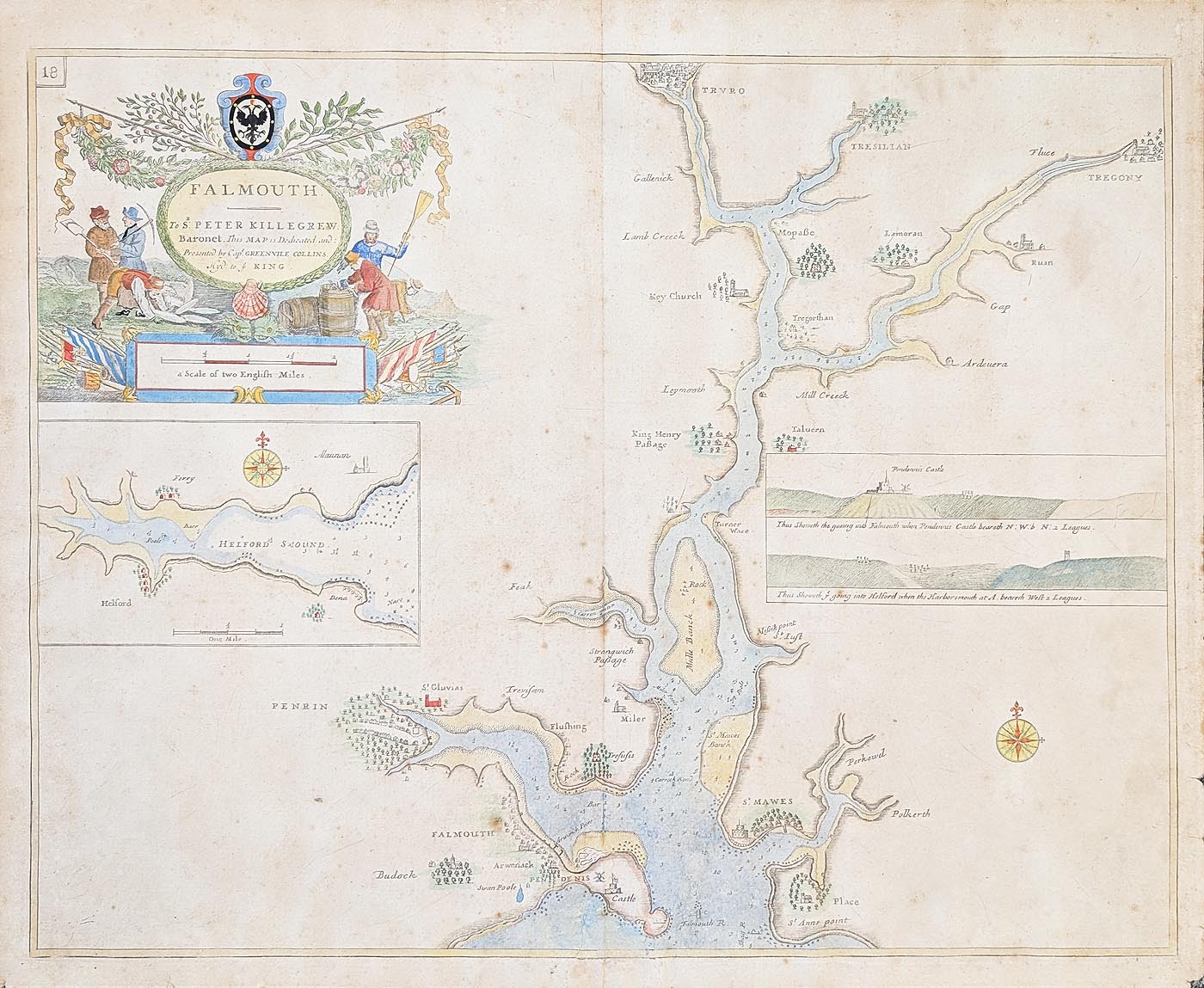
Title: FALMOUTH 'To Sir PETER KILLEGREW. Baronet. This MAP is Dedicated and Presented by Capt. GREENVILLE COLLINS. Hyd. to ye KING'
Publication: The British Coasting Pilot. Page 18.
Date: c.1693
Description: An 18th century Chart of Falmouth Harbour from The British Coasting Pilot by Captain Greenville Collins. Featuring a highly decorative title cartouche. Also features an inset of Helford Sound and two views of the headlands with Pendennis Castle.
Condition: Folding copy as published. Later hand colouring. Old repair to bottom centrefold and some spotting. Very scarce.
Image size: 460 x 572mm, 18 x 22.5 " approx.
SOLD
Order No. 4966
Capt. Greenville Collins
In 1676 Collins was commissioned by Charles II, and appointed by Samuel Pepys (who was then Secretary to the Admiralty), to chart the coasts of Great Britain and he produced his Great Britain's Coasting Pilot in 1693, this was the first original sea atlas to be produced by an Englishman.
Collins engaged the services of various engravers to cut the plates including Herman Moll, Harris, Moxon and Lamb, final publication was twelve years after the initial commission.
Old sea chart of Falmouth by Capt. Greenville Collins
Mon - Closed
Tues-Fri 10am-1.30pm, 2.30-5.30pm
Sat 10am-1.30pm
© Devonshire Fine Art
 Free UK Mainland Delivery*
9 Church Street
Modbury
Devon PL21 0QW. UK
01548 830872


