
Holy Land by G. P. Chanlaire
Back to: Israel
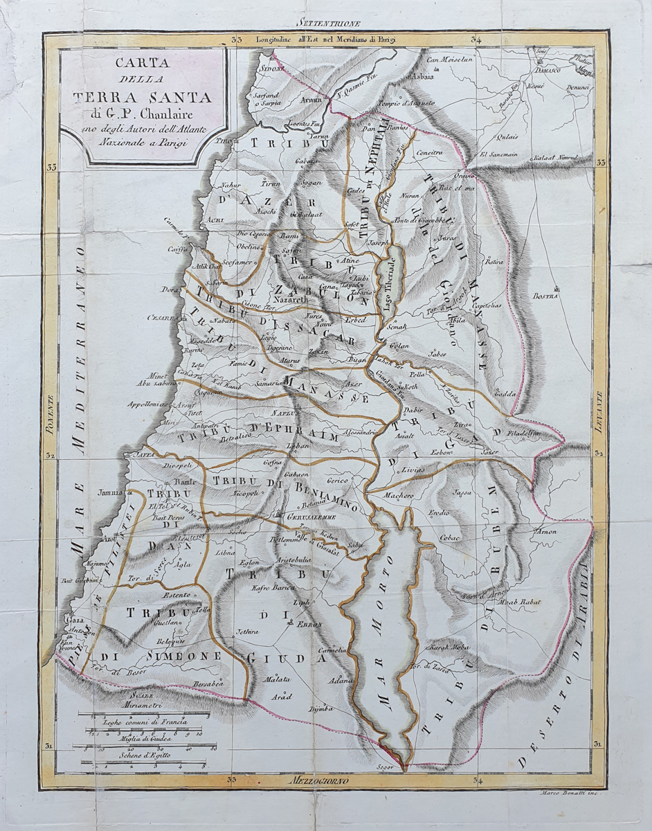
Title: Carta Della Terra Santa di G. P. Chanlaire inbo degli Autori dell' Atlante Nazionale a Parrigi
Publication: Unknown
Date: c.1800
Description: Detailed map of the Holy Land depicting the boundaries of the the twelve tribes of Israel.
Condition: Laid on tissue, folding copy with repairs, later hand colouring.
Image size: 330 x 245mm
13 x 9.75"approx.
SOLD
Order No. 3690
12 Tribes of Israel antique map
Opening Hours:
Mon - Closed
Tues-Fri 10am-1.30pm, 2.30-5.30pm
Sat 10am-1.30pm
© Devonshire Fine Art
Mon - Closed
Tues-Fri 10am-1.30pm, 2.30-5.30pm
Sat 10am-1.30pm
© Devonshire Fine Art
 Free UK Mainland Delivery*
Devonshire Fine Art
9 Church Street
Modbury
Devon PL21 0QW. UK
01548 830872
9 Church Street
Modbury
Devon PL21 0QW. UK
01548 830872


