
Ireland by Henri Abraham Châtelain
Back to: Ireland
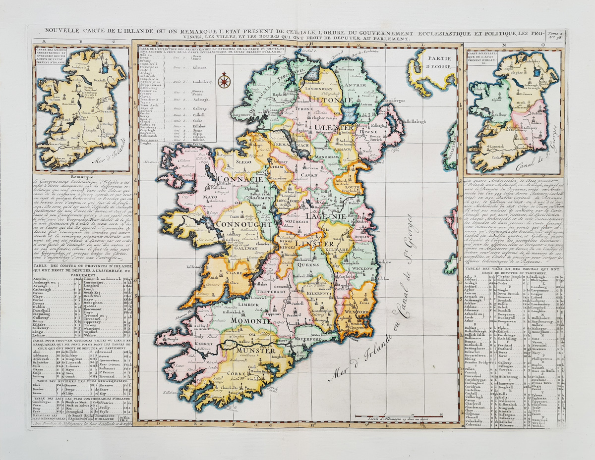
Title: Nouvelle Carte De L' Irlande etc.
Publication: Atlas Historique
Date: 1719
Description: Early 18th century, highly decorative map of Ireland. Top left is vignette map detailing archeological sites. Top Right is a second vignette map depicting the ecclesiastical divisions. Several tables and descriptive text complete this impressive composition.
Condition: Good paper and imprint, copperplate line engraving, later hand colouring.
Image size: 350 x 460mm, 14 x 18" approx.
SOLD
Order No. 3968
Early 18th century map of Ireland by Châtelain
Opening Hours:
Mon - Closed
Tues-Fri 10am-1.30pm, 2.30-5.30pm
Sat 10am-1.30pm
© Devonshire Fine Art
Mon - Closed
Tues-Fri 10am-1.30pm, 2.30-5.30pm
Sat 10am-1.30pm
© Devonshire Fine Art
 Free UK Mainland Delivery*
Devonshire Fine Art
9 Church Street
Modbury
Devon PL21 0QW. UK
01548 830872
9 Church Street
Modbury
Devon PL21 0QW. UK
01548 830872


