
British Islands by Emanuel Bowen and John Owen
Back to: British Isles | Emanuel Bowen
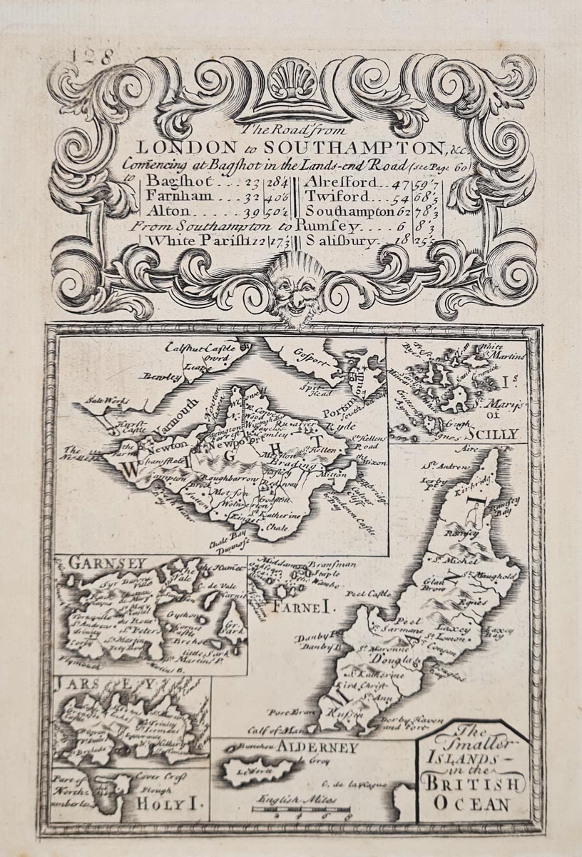
Title: The Smaller Islands of the British Ocean
Publication: Britannia Depicta by Thomas Bowles
Date: c.1720
Description: Decorative early 18th century map by Emanuel Bowen and John Owen features Isle of Wight, Scilly Isles, Guernsey, Jersey, Holy Island, Aldernery, Farne Isles, and Isle of Man etc, road map Welshpool and Shrewsbury verso.
Condition: Good imprint, uncoloured, road map verso. Minor age related blemishes.
Image size: 182 x 116mm, 7 x 4.5" approx.
SOLD
Order No. 4294
18th century map of British Isles by Emanuel Bowen and John Owen
Opening Hours:
Mon - Closed
Tues-Fri 10am-1.30pm, 2.30-5.30pm
Sat 10am-1.30pm
© Devonshire Fine Art
Mon - Closed
Tues-Fri 10am-1.30pm, 2.30-5.30pm
Sat 10am-1.30pm
© Devonshire Fine Art
 Free UK Mainland Delivery*
Devonshire Fine Art
9 Church Street
Modbury
Devon PL21 0QW. UK
01548 830872
9 Church Street
Modbury
Devon PL21 0QW. UK
01548 830872


