
Jamaica by John Rapkin for John Tallis
Back to: West Indies | John Rapkin
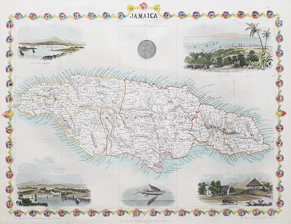
Title: JAMAICA
Publication: Illustrated Atlas of the World 1849-53 for John Tallis and Company, London and New York.
Date: C.1850
Description: Very decorative map of Jamaica with Vignettes of Port Royal Harbour, Kingston, Port Antonio, a Sugar Mill, a seal of the colonyl and a flying fish. 'The Illustrations by H. Warren and Engraved by J. B. Allen. The Map Drawn and Engraved by J. Rapkin.' Page 80.
Condition: Good imprint, folding copy as published, later hand colouring.
Image size: 355 x 260mm
14 x 10.25"
approx.
£130.00
Order No. 3328
Click here for framing suggestions
19th century map of Jamaica by John Rapkin for sale
Opening Hours:
Mon - Closed
Tues-Fri 10am-1.30pm, 2.30-5.30pm
Sat 10am-1.30pm
© Devonshire Fine Art
Mon - Closed
Tues-Fri 10am-1.30pm, 2.30-5.30pm
Sat 10am-1.30pm
© Devonshire Fine Art
 Free UK Mainland Delivery*
Devonshire Fine Art
9 Church Street
Modbury
Devon PL21 0QW. UK
01548 830872
9 Church Street
Modbury
Devon PL21 0QW. UK
01548 830872


