
Lancashire Very Large Wall Map by Bacon
Back to: Lancashire
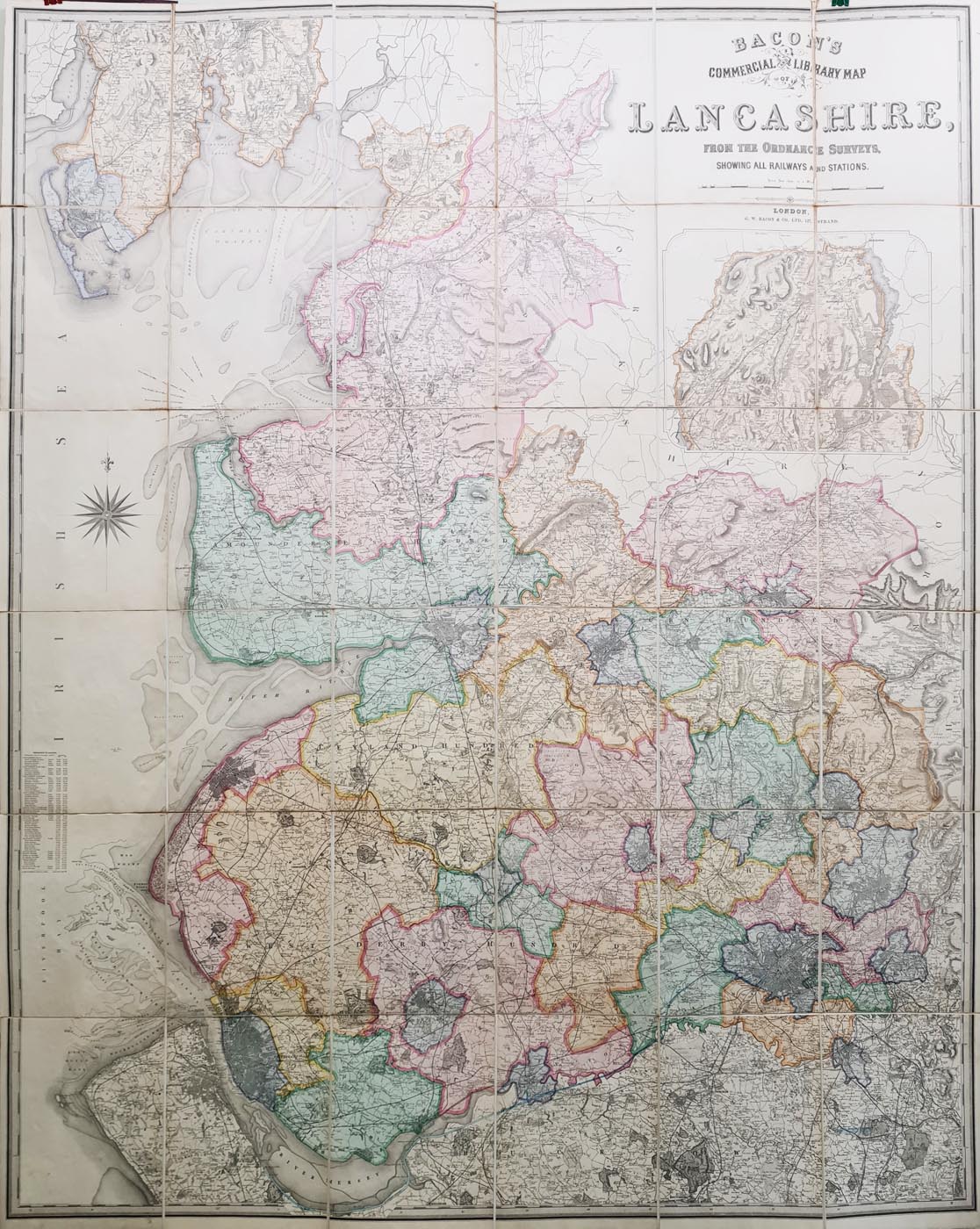
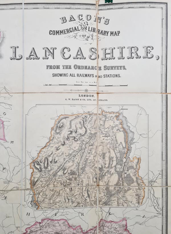
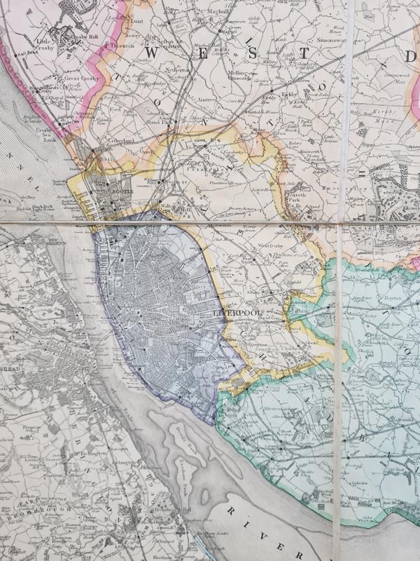
Title: Bacon's Commercial and Library Map of Lancashire from the Ordnance Surveys, Showing all Railways and Stations
Publication: G. W. Bacon & Co LTD.
Date: circa 1880
Description: Very large wall map of the county
Condition: Dissected and laid on linen, original hand colouring, hard back embossed cover. Extensive, very detailed map, very impressive, scarce.
Image size: 1385 x 1760mm, 54.5" x 69.25" approx.
£595.00
Order No. 4018
Click here for framing suggestions
Very large Victorian map of Lancashire
Opening Hours:
Mon - Closed
Tues-Fri 10am-1.30pm, 2.30-5.30pm
Sat 10am-1.30pm
© Devonshire Fine Art
Mon - Closed
Tues-Fri 10am-1.30pm, 2.30-5.30pm
Sat 10am-1.30pm
© Devonshire Fine Art
 Free UK Mainland Delivery*
Devonshire Fine Art
9 Church Street
Modbury
Devon PL21 0QW. UK
01548 830872
9 Church Street
Modbury
Devon PL21 0QW. UK
01548 830872


