
Antique Map of the Environs of London 1832 | SDUK
This detailed antique map of the Environs of London was published by the Society for the Diffusion of Useful Knowledge (SDUK) on 1 February 1832. The map covers a wide area surrounding London, including Kingston, Chislehurst and Chingford, and is an attractive example of an early 19th-century map of London and its surrounding countryside.
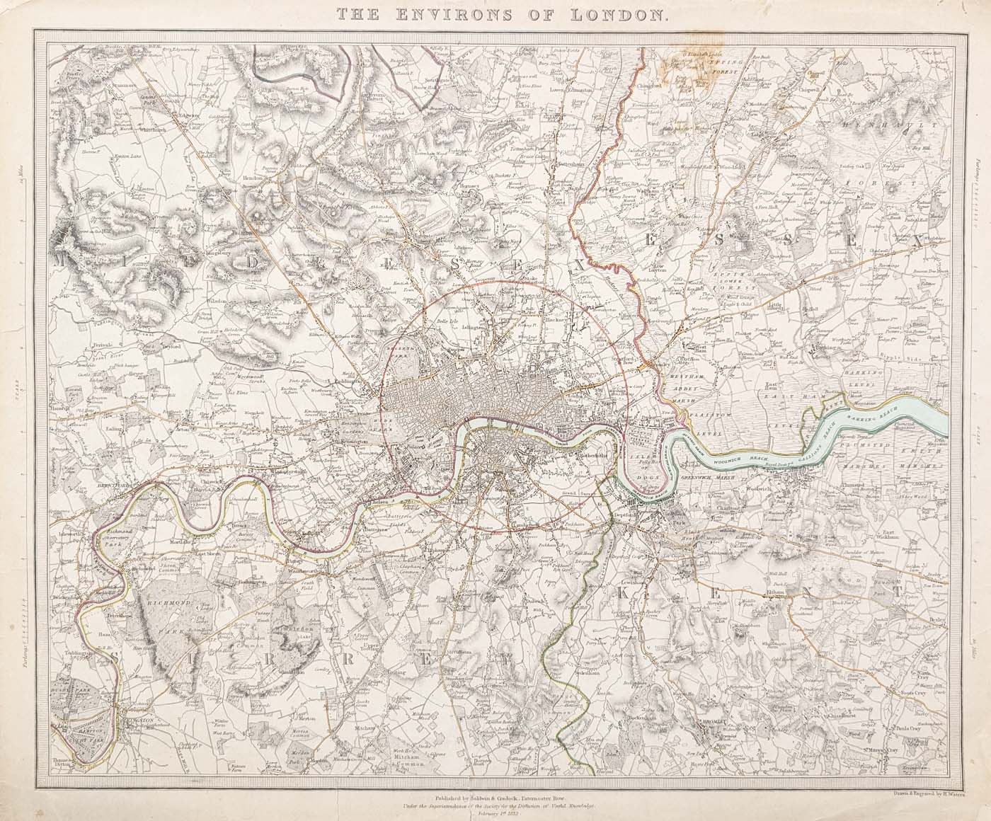
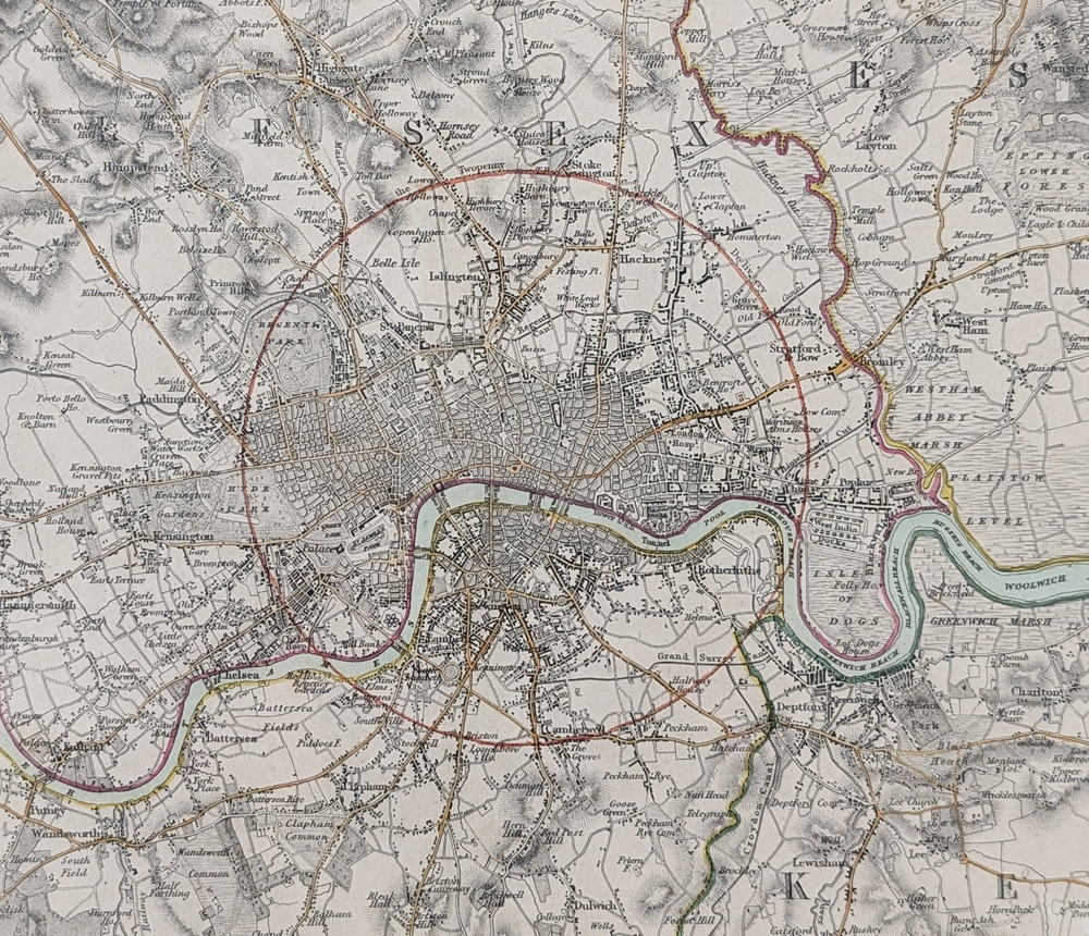
The Environs of London, 1832
Publisher: Society for the Diffusion of Useful Knowledge (SDUK)
Date: 1 February 1832
Engraver: H. Waters
Coverage: The Environs of London, including Kingston, Chiselhurst and Chingford
Format: Chromolithograph
Image size: 335 x 395mm (approximately 13.25 x 15.75 inches)
SOLD
Condition: Some age-related marks and repairs to the bottom margin, slightly extending into the engraved area, together with repairs to the top-left and bottom-right corners of the margins.
Framing Your Antique London Map
This 1832 map can be professionally framed to create an attractive historical display. We offer a range of conservation framing options suitable for antique maps and prints.
Explore our conservation framing options for antique maps
Order No. 4707
About the 1832 Map of the Environs of London
This detailed 1832 antique map depicts the Environs of London during the reign of William IV. Published by the Society for the Diffusion of Useful Knowledge (SDUK), the map provides a fascinating picture of London and the surrounding countryside in the early nineteenth century.
The map extends from Kingston in the west to Chiselhurst in the east and Chingford in the north, providing a broad view of the developing landscape around London. It was drawn and engraved by H. Waters and includes a scale in furlongs at the margins.
With its detailed engraving and period colouring, this is an attractive antique map for collectors of London maps, nineteenth-century cartography and historical maps of the capital and its surrounding areas.
This original 1832 antique map of the Environs of London is offered for sale in its original period format and is available for £145.00.
Society for the Diffusion of Useful Knowledge Map
The Society for the Diffusion of Useful Knowledge (SDUK) published a substantial series of educational maps and geographical works during the nineteenth century. Its maps are valued by collectors for their detailed engraving and the historical information they provide about towns, roads and landscapes before modern development.
More Antique Maps of London
View our collection of antique maps of London, including historical maps of London, Westminster and the surrounding areas.
Frequently Asked Questions
Who published the 1832 Environs of London map?
The map was published by the Society for the Diffusion of Useful Knowledge (SDUK), by Baldwin and Cradock.
What date is this antique London map?
This map is dated 1 February 1832.
Which areas are shown on the map?
The map covers the Environs of London, extending from Kingston in the west to Chiselhurst in the east and Chingford in the north.
Can the map be framed?
Yes. We offer conservation framing options suitable for antique maps and prints. See our map framing options.
Mon - Closed
Tues-Fri 10am-1.30pm, 2.30-5.30pm
Sat 10am-1.30pm
© Devonshire Fine Art
 Free UK Mainland Delivery*
9 Church Street
Modbury
Devon PL21 0QW. UK
01548 830872


