
London Steet Map by John Cary 1801
Back to: London | Old Town Plans
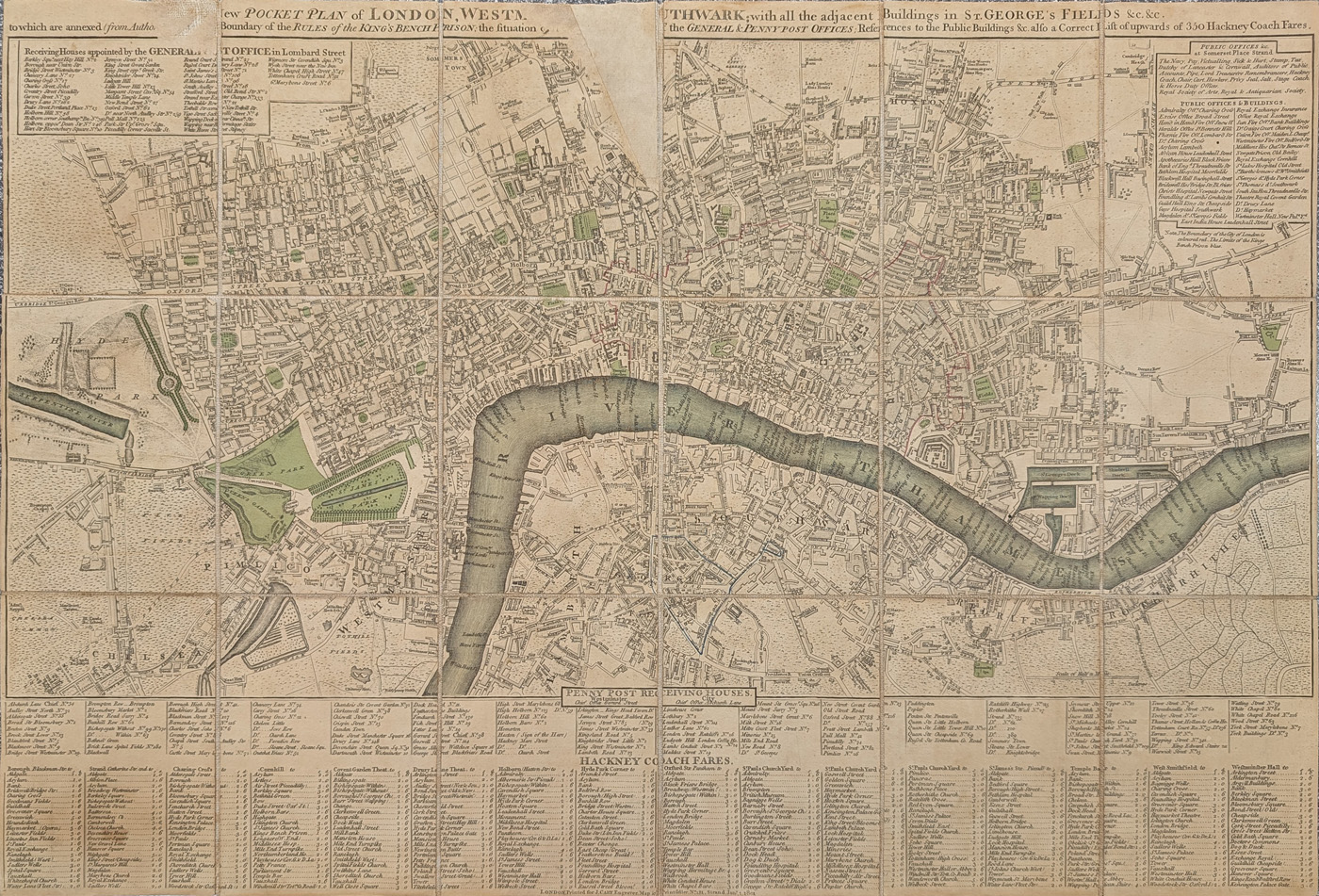
Title: A New Pocket Plan of LONDON, WESTMINSTER and SOUTHWARK; with all the adjacent Buildings in ST. GEORGE'S FIELDS &C. &C.
Publication: 181 The Strand.
Date: 1801
Description: Detailed street map of London and the River Thames. Features a list of the PENNY POST RECEIVING HOUSES and an index of the HACKNEY COACH FARES throughout the city. Top left is an index of Receiving Houses appointed by the GENERAL POST OFFICE in Lombard Street. Top right is a further index detailing Public Offices and Buildings
Condition: Folding copy, laid on linen, two areas of loss to top of map, early hand colouring. Priced accordingly.
Image size: 415 x 615mm, 16.25 x 24.25" approx.
SOLD
Order No. 4712
Early 19th century street map of London by John Cary
Opening Hours:
Mon - Closed
Tues-Fri 10am-1.30pm, 2.30-5.30pm
Sat 10am-1.30pm
© Devonshire Fine Art
Mon - Closed
Tues-Fri 10am-1.30pm, 2.30-5.30pm
Sat 10am-1.30pm
© Devonshire Fine Art
 Free UK Mainland Delivery*
Devonshire Fine Art
9 Church Street
Modbury
Devon PL21 0QW. UK
01548 830872
9 Church Street
Modbury
Devon PL21 0QW. UK
01548 830872


