
London and Westminster Henry Chamberlain
Back to: London
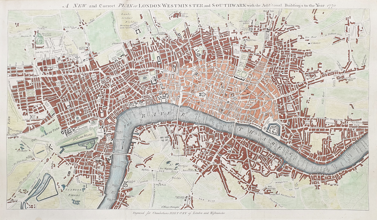
Title: 'A New & Correct Plan of London, Westminster and Southwark with the Additional Buildings to the Year 1770'
Publication: "A New and Compleat History and Survey of the Cities of London and Westminster, the Borough of Southwark, and Parts adjacent; From the Earliest Accounts, to the Beginning of the Year 1770" by Henry Chamberlain, of Hatton Garden.
Date: c.1770
Description: Detailed 18th century map of the city, depicts London from Hyde Park in the west to Shadwell in the east and from Sadler’s Wells in the north to Newington Butts in the south. Engraved by J. Flynn
Condition: Folding copy as published, later hand colouring, generous margins, top left corner of margin missing, image unaffected.
Image size: 305 x 500mm, 12 x 20" approx.
SOLD
Order No. 3720
18th century map of London by Chamberlain
Opening Hours:
Mon - Closed
Tues-Fri 10am-1.30pm, 2.30-5.30pm
Sat 10am-1.30pm
© Devonshire Fine Art
Mon - Closed
Tues-Fri 10am-1.30pm, 2.30-5.30pm
Sat 10am-1.30pm
© Devonshire Fine Art
 Free UK Mainland Delivery*
Devonshire Fine Art
9 Church Street
Modbury
Devon PL21 0QW. UK
01548 830872
9 Church Street
Modbury
Devon PL21 0QW. UK
01548 830872


