
Antique Map of London in the Olden Times by William Newton, 1855
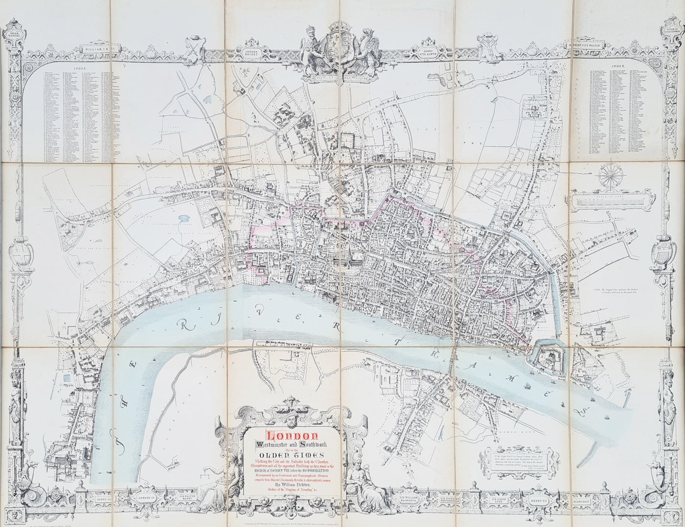
Very large Victorian wall map of London, Westminster and Southwark
Map Details
- Title: London, Westminster and Southwark As in the Olden Times
- Cartographer/Author: William Newton
- Date: 1855
- Publisher: Bell and Baldy, 186 Fleet Street, London
- Engraver: Thomas Sherratt
- Subject: London, Westminster and Southwark
- Size: 1020 x 1360mm (approximately 40 x 53.5 inches)
- Condition: Good paper and imprint, with original hand colouring
- Order number: 3934
- Price: £1,375
Click here for framing suggestions
This large historical map is part of our collection of antique maps of London. For other historical urban maps, see our antique city maps.
If you are considering displaying this map, see our antique map framing service for framing suggestions.
Map inscription:'LONDON, Westminster and Southwark As in the OLDEN TIMES Shewing the City and its Suburbs with the Churches, Monasteries and all the important Buildings as they stood in the Reign of HENRY VII before the REFORMATION. Accompanied bu an Historical and Topographical Memoir compiled from Ancient Documents, Records & other authentic sources By William Newton. Author of the “Display of Heraldry” &c.
London in the Olden Times by William Newton
William Newton's London, Westminster and Southwark as in the Olden Times is a large and highly decorative historical map depicting London as it was imagined during the reign of Henry VIII, before the Reformation.
A Large Victorian Map of Tudor London
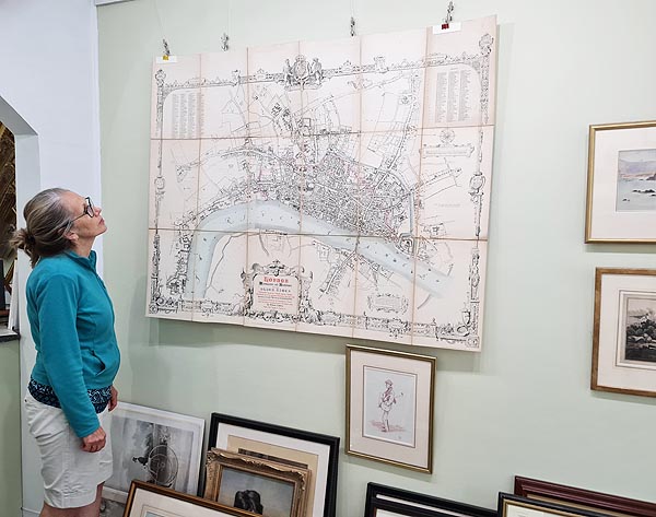
This impressive map covers London, Westminster and Southwark and shows the churches, monasteries and important buildings associated with the medieval and Tudor capital. Its exceptionally large size makes it particularly striking when displayed as a wall map.
William Newton London Map, 1855
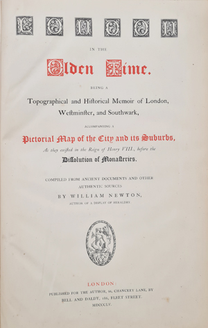
The map was published in 1855 by Bell and Baldy of 186 Fleet Street, London. It was engraved on copper by Thomas Sherratt and is accompanied by a historical and topographical memoir compiled from ancient documents, records and other sources.
Map Condition and Dimensions
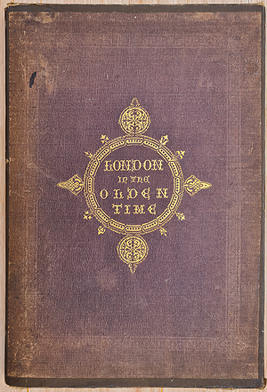
The map has good paper and imprint with original hand colouring. It has been dissected and laid on linen and retains its original presentation in a hardback case together with the accompanying 120-page book and index. There is some age discolouration to the folds and reinforcing.
The map measures approximately 1020 x 1360mm (40 x 53.5 inches).
Mon - Closed
Tues-Fri 10am-1.30pm, 2.30-5.30pm
Sat 10am-1.30pm
© Devonshire Fine Art
 Free UK Mainland Delivery*
9 Church Street
Modbury
Devon PL21 0QW. UK
01548 830872


