
London after Edward Stanford circa 1860
Back to: Antique Town Plans | London
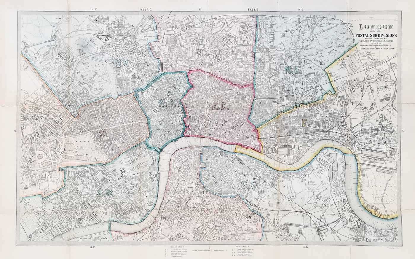
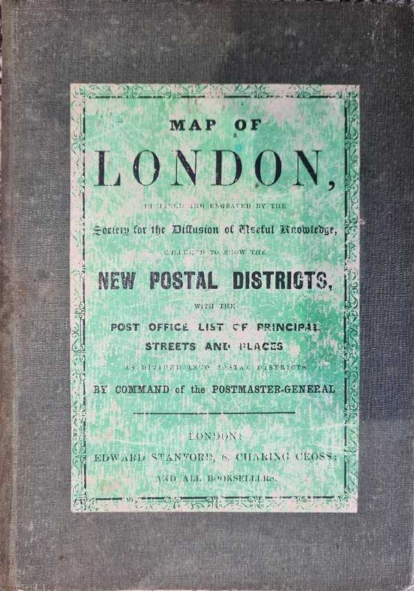
Title: London with its Postal Sub-Divisions reduced from the map prepared by Edward Stanford for use in the London & Provincial by the Command of the Postmaster General.
Publication: Society for the Diffusion of Useful Knowledge for Edward Stanford.
Date: c.1860
Description: Folding copy with hard back cover. From Highbury to Kennington and Camberwell, and from Kensignton to the Isle of Dogs detailing 11 postal sub-divisions, with a 32 page booklet, ‘The Post Office List of Principal Streets and Places’, bound into the cover. Lithographed by Machan Macdonald & Macgregor. Key to postal districts in bottom margin.
Condition: Folding map, hand coloured lithograph, some reinforcing to folds, several repaired wormholes, priced accordingly.
Image size: 406 x 665, 16 x 26.25" approx.
SOLD
Order No. 4230
Click here for framing suggestions
Victorian Street Map of London for the Post Office by SDUK after Stanford
Opening Hours:
Mon - Closed
Tues-Fri 10am-1.30pm, 2.30-5.30pm
Sat 10am-1.30pm
© Devonshire Fine Art
Mon - Closed
Tues-Fri 10am-1.30pm, 2.30-5.30pm
Sat 10am-1.30pm
© Devonshire Fine Art
 Free UK Mainland Delivery*
Devonshire Fine Art
9 Church Street
Modbury
Devon PL21 0QW. UK
01548 830872
9 Church Street
Modbury
Devon PL21 0QW. UK
01548 830872


