
Antique Map of North and Central America by Rigobert Bonne, 1781
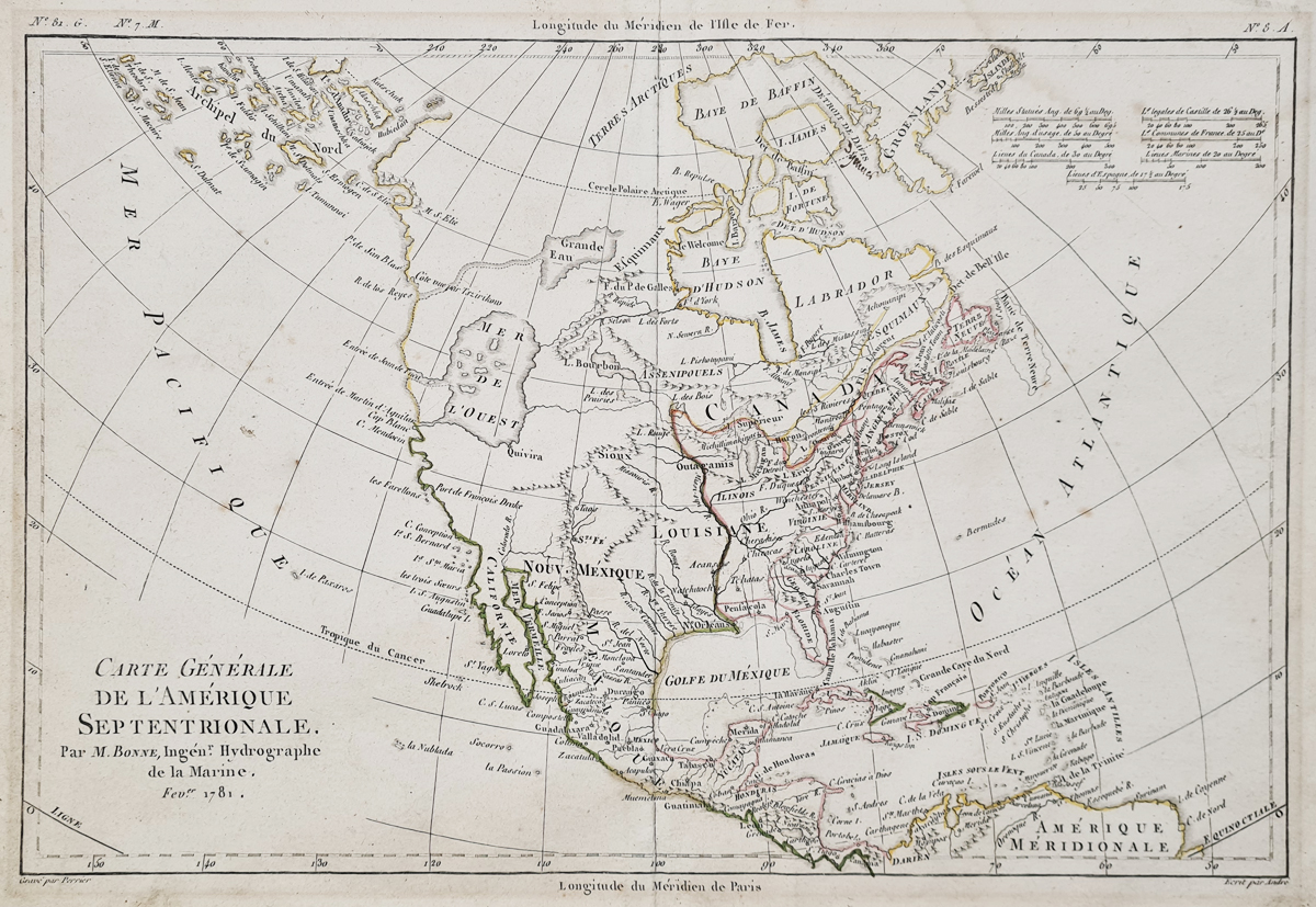
Map Details
- Cartographer: Rigobert Bonne
- Title: Carte Générale de l'Amérique Septentrionale
- Date: February 1781
- Publication: Atlas de Toutes les Parties Connues du Globe Terrestre
- Engraver: André
- Subject: North and Central America
- Colouring: Original outline colour
- Condition: Folding copy as published, with age toning and marginal marks
- Image size: Approximately 220 x 320 mm
- Stock number: 4093
Price: £275.00
Rigobert Bonne's Antique Map of North America, 1781
This antique map of North and Central America was produced by Rigobert Bonne and dated February 1781. It was published in the Atlas de Toutes les Parties Connues du Globe Terrestre, prepared for the historical and geographical work on European settlements and trade in the East and West Indies.
Engraved by André, the map reflects European geographical understanding of the Americas in the late 18th century. Among its notable features are the mythical Sea of the West and the Grand Sea in the North, which illustrate the uncertainty that remained in contemporary representations of the continent.
The map is offered as an original antique, with original outline colouring. It remains a folding copy as published and shows some age toning and marginal marks. The engraved image measures approximately 220 x 320 mm (8.75 x 12.5 inches).
Priced at £275, this historical map would interest collectors of early maps of America, 18th-century cartography and antique maps depicting the development of geographical knowledge.
Explore our collection of antique maps of America and Canada for more historical maps of the continent.
Mon - Closed
Tues-Fri 10am-1.30pm, 2.30-5.30pm
Sat 10am-1.30pm
© Devonshire Fine Art
 Free UK Mainland Delivery*
9 Church Street
Modbury
Devon PL21 0QW. UK
01548 830872


