
Antique Map of North America by John Rapkin, c.1851
North America
Mapmaker: John Rapkin
Date: circa 1851
Publication: Tallis's Illustrated Atlas
Condition: Some original hand colouring, folding copy as published, with some marginal marks.
Image size: 265 × 360 mm
Order number: 4640
Price: £235.00
Delivery: Antique map delivery information
Framing: Antique map framing options
Returns: Terms and returns policy
About This Antique Map of North America
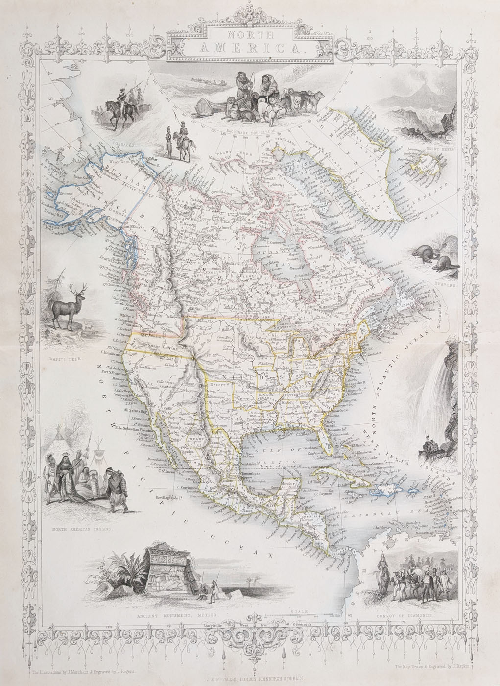
This decorative antique map of North America was drawn and engraved by John Rapkin for Tallis's Illustrated Atlas, published by John Tallis and Company circa 1851. Dating from the Victorian period, the map combines geographical detail with the elaborate engraved illustrations for which Tallis's atlas maps are particularly admired.
The map depicts the United States, Canada, Greenland, Central America, Iceland and Alaska, then known as Russian America. Its decorative vignettes include historical monuments, wildlife, indigenous subjects and scenes associated with exploration and life in North America.
Drawn and engraved by John Rapkin, the map is distinguished by its decorative presentation and original hand colouring. It is an appealing example of mid-nineteenth-century cartography for collectors of antique maps of America, historical maps and Victorian decorative prints.
Condition and Dimensions
This is a folding example as published, with some original hand colouring and some marginal marks. The map measures approximately 265 x 360 mm (10.5 x 14.25 inches). Please refer to the product photographs for a closer view of its condition.
John Rapkin and Tallis's Illustrated Atlas
John Rapkin was a nineteenth-century mapmaker and engraver associated with the decorative maps published for Tallis's Illustrated Atlas of the World, issued around 1849–1853. These maps are valued for combining geographical information with engraved borders and illustrative vignettes.
This original antique map is available for £235, with framing options available. Select your preferred format above to view the available choices.
Explore more antique maps of America and browse our collection of antique maps by John Rapkin.
Mon - Closed
Tues-Fri 10am-1.30pm, 2.30-5.30pm
Sat 10am-1.30pm
© Devonshire Fine Art
 Free UK Mainland Delivery*
9 Church Street
Modbury
Devon PL21 0QW. UK
01548 830872


