
Oxfordshire by Emanuel Bowen and John Owen
Back to: Oxfordshire | Emanuel Bowen
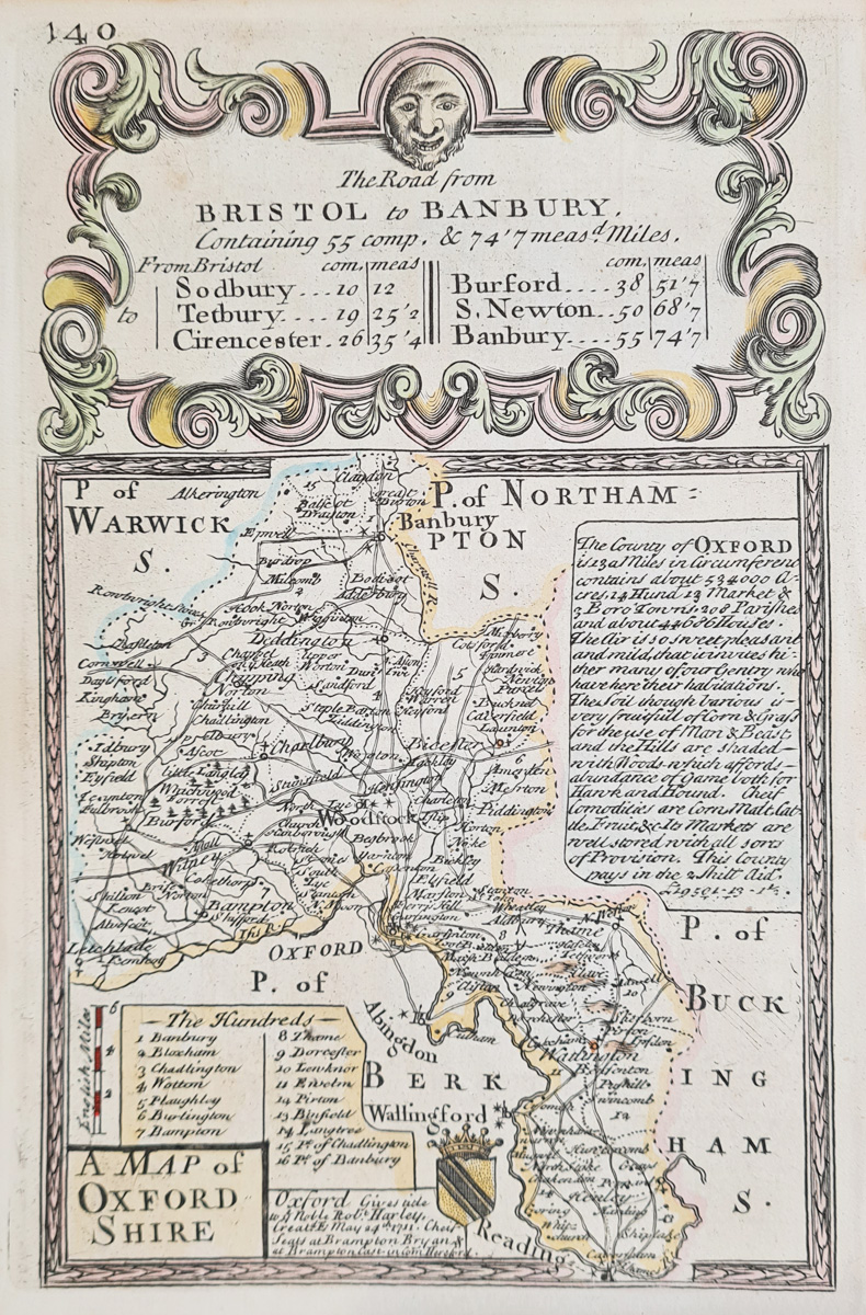
Title: Oxfordshire
Publication: Britannia Depicta by Thomas Bowles
Date: c.1720
Description: Decorative early 18th century map by Emanuel Bowen and John Owen features Oxford, Woodstock, Bicester etc, road map Saxmundeham to Yarmouth verso.
Condition: Good imprint, later hand colouring. Minor age related blemishes.
Image size: 182 x 116mm, 7 x 4.5" approx.
£60.00
Order No. 4236
18th century map of Oxfordshire by Emanuel Bowen and John Owen
Opening Hours:
Mon - Closed
Tues-Fri 10am-1.30pm, 2.30-5.30pm
Sat 10am-1.30pm
© Devonshire Fine Art
Mon - Closed
Tues-Fri 10am-1.30pm, 2.30-5.30pm
Sat 10am-1.30pm
© Devonshire Fine Art
 Free UK Mainland Delivery*
Devonshire Fine Art
9 Church Street
Modbury
Devon PL21 0QW. UK
01548 830872
9 Church Street
Modbury
Devon PL21 0QW. UK
01548 830872


