
Oxfordshire by Thomas Kitchin
Back to: Oxfordshire
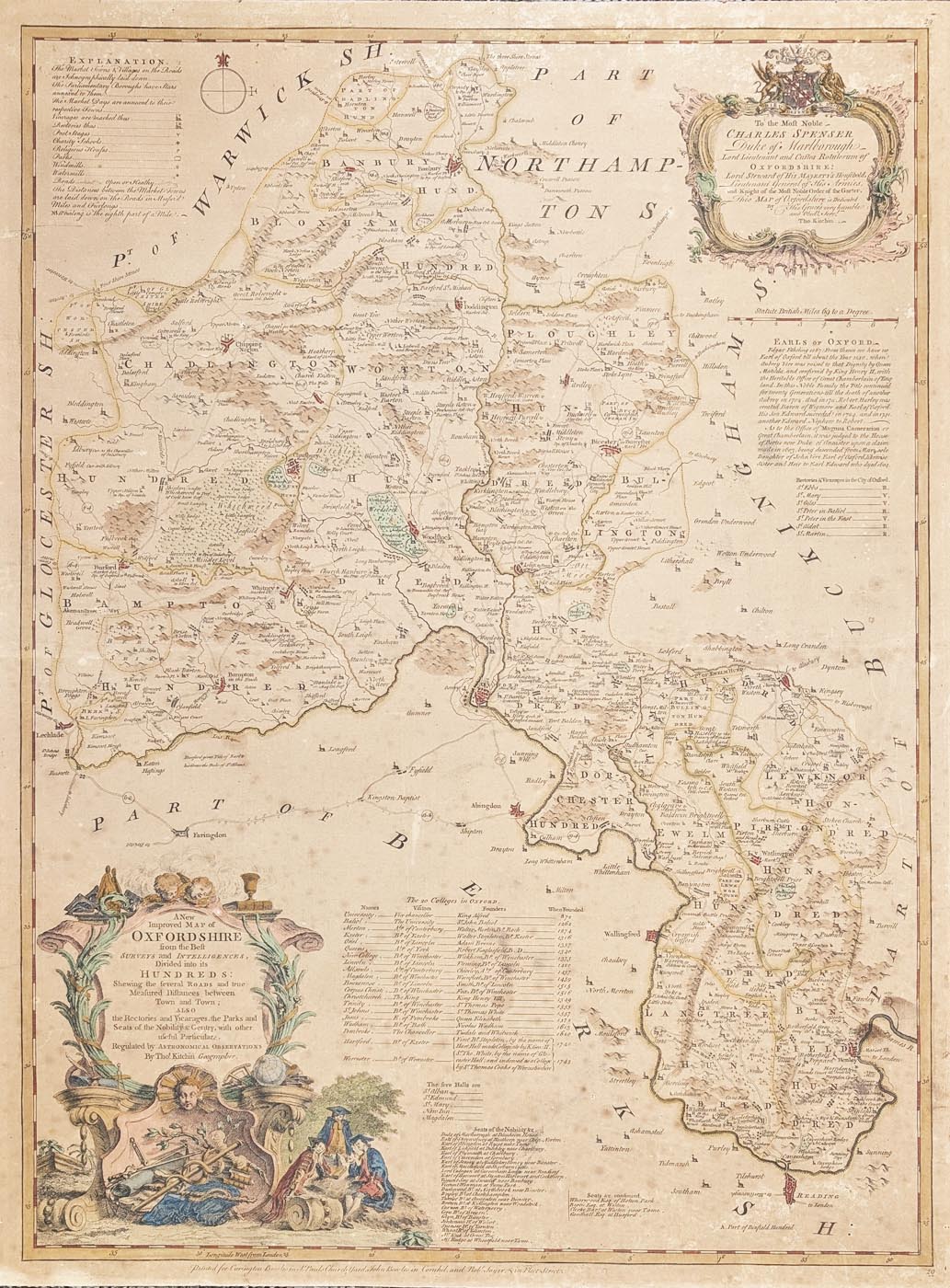
Title: A New Improved Map of Oxfordshire from the Beft SURVEYS and INTELLIGENCES, Divided into HUNDREDS:
Publication: Large English Atlas
Date: 1764
Description: Extensive county map with historical notes relating to the earls, a key to the Colleges in Oxford and a list of the Seats of the Nobility. Rococco style dedication and vignette title cartouche. Features Oxford,
Condition: Laid on board, later hand colouring some spotting and age toning, priced accordingly.
Image size: 720 x 525, 28.75 x 29.75" approx.
£125.00* Note: this map is laid on board, for shipping outside of the UK mainland, please email for a shipping estimate before purchasing.
Order No. 4962
Click here for framing suggestions
18th century map of Oxfordshire by Thomas Kitchin
Opening Hours:
Mon - Closed
Tues-Fri 10am-1.30pm, 2.30-5.30pm
Sat 10am-1.30pm
© Devonshire Fine Art
Mon - Closed
Tues-Fri 10am-1.30pm, 2.30-5.30pm
Sat 10am-1.30pm
© Devonshire Fine Art
 Free UK Mainland Delivery*
Devonshire Fine Art
9 Church Street
Modbury
Devon PL21 0QW. UK
01548 830872
9 Church Street
Modbury
Devon PL21 0QW. UK
01548 830872


