
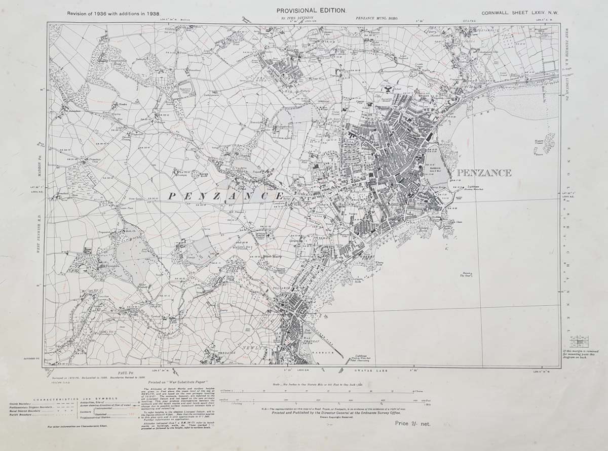
Vintage Ordnance Survey Map of Penzance, Cornwall, c.1938
Back to: Cornwall | Town Plans
Map Details
Title: Penzance
Publisher: Ordnance Survey
Date: Circa 1938
Location: Penzance, Cornwall
Description: Detailed vintage map of Penzance and the surrounding area.
Condition: Some marks and one repair to the margin. Printed in dual colour.
Image size: 375 x 530mm (14.75 x 21 inches) approximately.
Price: £45.00
Order number: 4136
Vintage Ordnance Survey Map of Penzance, Cornwall
This vintage Ordnance Survey map of Penzance dates from circa 1938 and provides a detailed view of the town and its surrounding area in Cornwall during the early 20th century. Published by the Ordnance Survey, it is an interesting historical record of Penzance before the many changes to the town and its surroundings that have taken place since.
Old maps of Penzance are particularly interesting for anyone researching the history of the town, its streets, buildings and local landscape. This original printed map offers a fascinating snapshot of the area as it appeared in the late 1930s.
Printed in dual colour, the map has an image size of approximately 375 x 530mm (14.75 x 21 inches). It is in good overall condition, although there are some marks and one repair to the margin.
This original vintage map would make an interesting addition to a collection of Cornwall maps or a thoughtful gift for someone with a connection to Penzance and the surrounding area.
See our other antique maps of Cornwall and antique town maps.
Frequently Asked Questions
When was this Penzance map published?
The map dates from circa 1938 and was published by the Ordnance Survey.
Is this an original vintage map?
This is an original printed Ordnance Survey map, not a modern reproduction.
What size is the Penzance map?
The image measures approximately 375 x 530mm (14.75 x 21 inches).
What condition is the map in?
It has some marks and one repair to the margin and is printed in dual colour.
Mon - Closed
Tues-Fri 10am-1.30pm, 2.30-5.30pm
Sat 10am-1.30pm
© Devonshire Fine Art
 Free UK Mainland Delivery*
9 Church Street
Modbury
Devon PL21 0QW. UK
01548 830872


