
Robert Morden - Staffordshire county map circa 1722
Back to: Surrey | Robert Morden
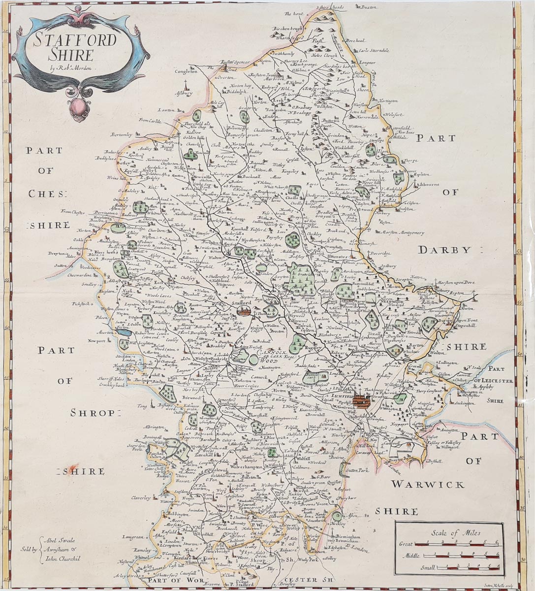
Title: Staffordshire By Rob't Morden
Publication: Camden's Britannia
Date: circa 1722
Description: An 18th century, affordable map of Staffordshire. Place names include Litchfield, Walsall, Wolverhampton, Dudley, Stafford, Uttoxeter.
Condition: Later hand colouring, close margins, slight cropping to lhs, two marks top right. Folding copy as published. Priced accordingly.
Image size: 360 x 420mm
14 x 16.5 " approx.
£65.00
Order No. 4128
Click here for framing suggestions
18th century map of Staffordshire by Robert Morden
Opening Hours:
Mon - Closed
Tues-Fri 10am-1.30pm, 2.30-5.30pm
Sat 10am-1.30pm
© Devonshire Fine Art
Mon - Closed
Tues-Fri 10am-1.30pm, 2.30-5.30pm
Sat 10am-1.30pm
© Devonshire Fine Art
 Free UK Mainland Delivery*
Devonshire Fine Art
9 Church Street
Modbury
Devon PL21 0QW. UK
01548 830872
9 Church Street
Modbury
Devon PL21 0QW. UK
01548 830872


