
Antique Map of the United States by John Rapkin, c.1851
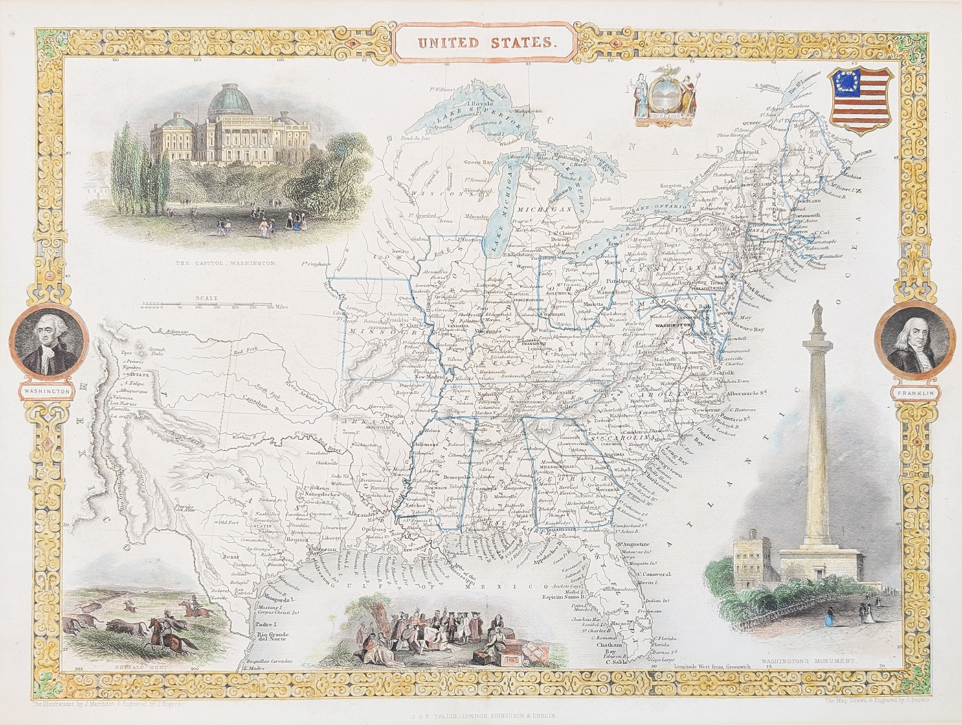
United States Antique Map by John Rapkin
Mapmaker: John Rapkin
Publication: Tallis's Illustrated Atlas, published by J. & F. Tallis
Date: Circa 1851
This decorative antique map of the United States was drawn and engraved by John Rapkin for Tallis's Illustrated Atlas. Dating from around 1851, it is an attractive example of Victorian cartography, combining geographical detail with finely engraved illustrations and decorative vignettes.
Decorative Victorian Map of the United States
The map includes illustrations associated with American history and identity, including the Capitol at Washington, George Washington, Benjamin Franklin, Washington's Monument, a buffalo hunt and William Penn signing a treaty with Native Americans. Decorative heraldic imagery and the motto "Excelsior" add to its visual appeal.
The map depicts the United States from Maine in the north to Florida in the south, extending west towards the Missouri region and Santa Fe. Its territorial labels provide an insight into the changing geography of North America in the mid-19th century.
Condition and Dimensions
Condition: Later hand colouring. Folding copy as published, with old mount marks to the margins.
Printed map size: 265 × 360 mm (approximately 10.5 × 14.25 inches).
Price: £265.00
Delivery: View delivery information
Framing: Explore antique map framing options
Order number: 4915
John Rapkin and Tallis's Illustrated Atlas
John Rapkin was a 19th-century map engraver known for his contribution to the decorative maps produced for Tallis's Illustrated Atlas. Published during the mid-Victorian period, these maps combined geographical information with engraved scenes, portraits and ornamental details.
This antique map of the United States, dating from around 1851, is a distinctive example of that style. Its combination of historical vignettes and geographical detail makes it suitable for collectors of American maps and decorative Victorian cartography.
View more antique maps by John Rapkin | Browse antique maps of America
Mon - Closed
Tues-Fri 10am-1.30pm, 2.30-5.30pm
Sat 10am-1.30pm
© Devonshire Fine Art
 Free UK Mainland Delivery*
9 Church Street
Modbury
Devon PL21 0QW. UK
01548 830872


