
17th Century Map of Worcestershire and Warwickshire by Jan Jansson
Back to: Warwickshire | Worcestershire | Jan Jansson
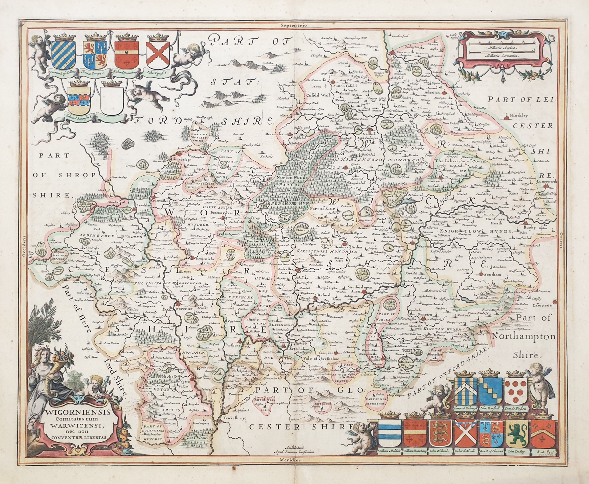
Title: WIGORNIENSIS Comitatus cum WARWICENSI nec non CONVENTRIAE LIBERTAS
Publication: Novous Atlas Sive Orbis Terrarum Volume IV, Great Britain, Latin text from Camden's Britannia. Published in Amsterdam.
Date: circa 1646
Description: Very decorative 17th century map of Worcestershire and Warwickshire by Jan Jansson. Features Sutton Coldfield, Coventry, Rugby, Stratford Upon Avon, Worcester.
Condition: Good bold image, attractive later hand colouring, folding copy as published, some marginal marks. Laid on board, priced accordingly.
Image size: 382 x 490mm
15 x 19.25 "
SOLD
Order No. 3939
Seventeenth century antique map of the counties of Worcestershire and Warwickshire by Jansson
Opening Hours:
Mon - Closed
Tues-Fri 10am-1.30pm, 2.30-5.30pm
Sat 10am-1.30pm
© Devonshire Fine Art
Mon - Closed
Tues-Fri 10am-1.30pm, 2.30-5.30pm
Sat 10am-1.30pm
© Devonshire Fine Art
 Free UK Mainland Delivery*
Devonshire Fine Art
9 Church Street
Modbury
Devon PL21 0QW. UK
01548 830872
9 Church Street
Modbury
Devon PL21 0QW. UK
01548 830872


